
If you're managing a ranch in Texas, knowing exactly what's on your land is no longer a guessing game. Thermal drone surveys give you the data to make smarter decisions about wildlife, habitat, and property value—here are five providers that can help.
The Rise of Thermal Drone Wildlife Surveys in Texas
Thermal drone technology has transformed how Texas landowners and managers count wildlife. Unlike traditional helicopter surveys that disturb animals, thermal drones detect body heat, allowing you to spot deer, hogs, and exotics even in thick brush—without the noise. This data is crucial for managing herd balance, supporting MLD permits, and even qualifying for wildlife tax valuations. As the industry grows, providers are refining their methods to deliver more accurate, actionable insights. Whether you're a rancher, a real estate professional, or a wildlife manager, these surveys offer a safer, quieter, and more precise alternative to old-school counting.
How We Evaluated These Providers
To bring you this list, we looked at each provider's service scope, technology, local expertise, and how well they communicate their process. We considered the range of services—from basic game counts to comprehensive ranch mapping—and how each company tailors its approach to Texas terrain and conditions. We also noted the clarity of their reporting and whether they offer additional value like habitat analysis or property valuation support. Each provider brings something unique to the table, and we've highlighted what stood out for each.
Here's a quick snapshot of the five providers we're featuring, with their key strengths and what they're best for.
| Provider | Best For |
|---|---|
| Sky Senderos | Large-scale ranches needing official, agency-recognized reports |
| Thermal Drone Wildlife Surveys in Texas | Sky Hunter TX | Landowners seeking a local, tech-forward partner for wildlife and land management |
| Plateau Land & Wildlife Management | Landowners who want a full-service wildlife management approach |
| Spring Creek Outdoors | Clients needing a biologist-led approach with additional mapping services |
| Landmark Wildlife | First-time survey users looking for guidance and educational support |
The Providers: A Closer Look
#1 Sky Senderos
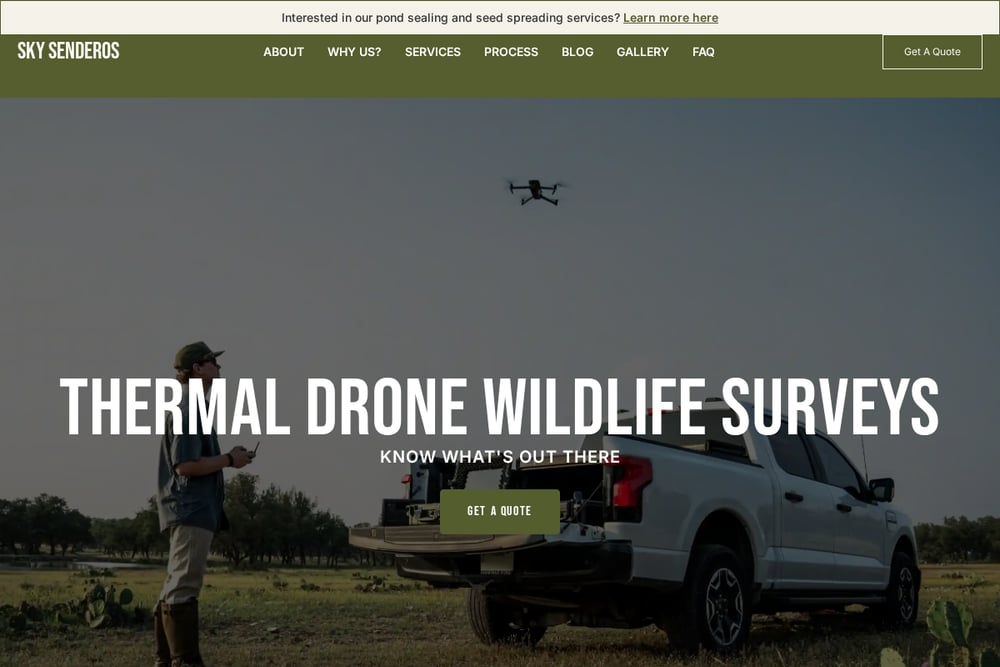 A screenshot of the Sky Senderos website.
Sky Senderos is the largest and most trusted provider of thermal drone wildlife surveys in Texas, with over 900 surveys completed and more than 1.45 million acres flown. Their scale allows them to refine their methodology continuously, ensuring accurate results even in dense brush. They offer agency-recognized reports trusted by TPWD biologists and county appraisal districts, making them a go-to for official purposes. Their best-in-class technology includes a proprietary conditions predictor to optimize flight times. If you need a survey that carries weight with regulators, Sky Senderos is a solid choice.
#2 Thermal Drone Wildlife Surveys in Texas | Sky Hunter TX
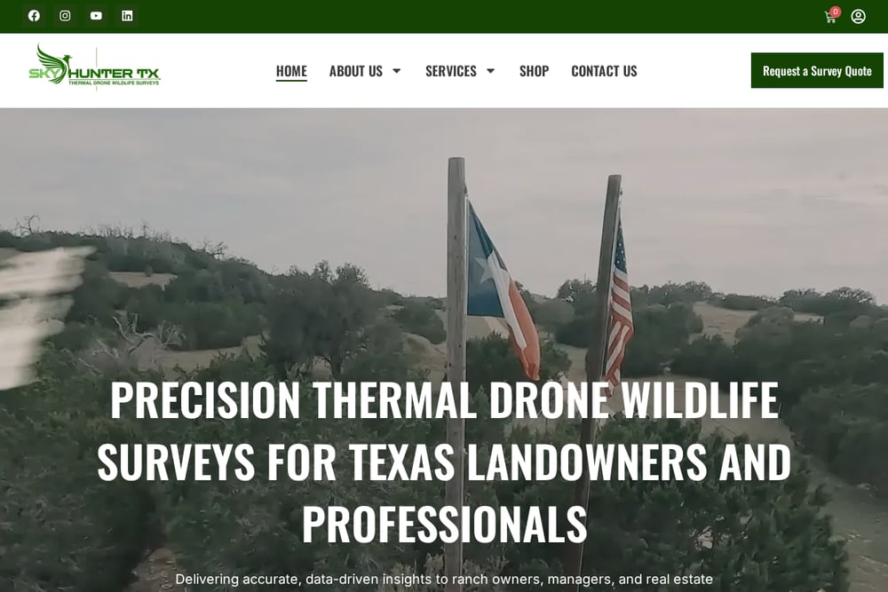 A screenshot of the Thermal Drone Wildlife Surveys in Texas | Sky Hunter TX website.
Sky Hunter TX brings a personal, Texas-based touch to thermal drone surveys, emphasizing licensed pilots and cutting-edge technology. They focus on delivering data-driven insights that help you manage herd balance and enhance land value, with comprehensive reporting that goes beyond simple counts. Their team is fully licensed by the FAA and Texas Parks & Wildlife, ensuring peace of mind and legality in any scenario. They also offer a range of services including MLD/1D1 surveys, feral hog detection, and ranch mapping, making them a versatile partner. If you want a provider that understands local terrain and climate, Sky Hunter TX is a strong contender.
#3 Plateau Land & Wildlife Management
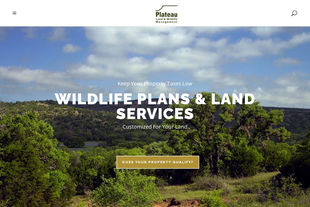 A screenshot of the Plateau Land & Wildlife Management website.
Plateau Land & Wildlife Management partners with Sky Senderos to offer thermal drone surveys as part of a broader wildlife management suite. They go beyond the survey itself, helping you use the data for wildlife tax valuations and MLDP compliance. Their team of biologists provides consulting and reporting that turns raw counts into actionable strategies. If you're looking for a one-stop shop for wildlife management, Plateau integrates the survey into a larger plan. Their long-standing reputation in Texas adds credibility to their recommendations.
#4 Spring Creek Outdoors
 A screenshot of the Spring Creek Outdoors website.
Spring Creek Outdoors brings over 50 years of combined biological experience to thermal drone surveys, with pilots using drones since 2016. They pride themselves on a survey methodology approved by Texas Parks and Wildlife, ensuring accuracy and reliability. Beyond surveys, they offer custom orthomosaic ranch maps, elevation maps, and even pond and lake planning, making them a versatile choice for property management. Their team's expertise extends to legal case evidence and locating lost livestock, showing a broad skill set. If you need a provider that combines biological insight with technical precision, Spring Creek is worth considering.
#5 Landmark Wildlife
 A screenshot of the Landmark Wildlife website.
Landmark Wildlife offers thermal drone land surveys as part of their wildlife management services, with a focus on helping you count game accurately. They emphasize the safety and quietness of drone surveys compared to helicopters, making them less disruptive to your property. Their team of biologists can integrate survey data into broader wildlife management plans, including tax exemptions and deer management. They also provide educational resources to help you understand the process before you commit. If you're new to drone surveys and want a provider that guides you through it, Landmark is a good starting point.
How to Choose the Right Thermal Drone Survey Provider
Start by defining your primary goal: is it for MLD permits, tax valuation, or just knowing your herd? If you need official reports, look for providers with agency recognition like Sky Senderos or Plateau. Consider the size of your property and the terrain—some providers specialize in large acreage, while others offer more tailored services. Check what additional services you might need, such as ranch mapping or predator detection, and see if the provider offers them. Finally, talk to a few providers and ask about their methodology and reporting; the right fit will make you feel confident in the data.
Streamlining Your Survey Experience
Many providers now offer online scheduling and digital report delivery, making the process seamless. You can request a quote through their websites, and some even provide customer portals to access your survey results. For recurring surveys, automated reminders and standardized reporting formats save you time. Look for providers that use software to analyze thermal data, reducing human error and speeding up turnaround. This automation lets you focus on acting on the insights rather than managing the logistics.
Making the Call
Thermal drone surveys are a game-changer for Texas landowners, giving you precise data to manage wildlife and land value. Each of these five providers brings something unique, from Sky Senderos's scale to Sky Hunter TX's local expertise. Your choice depends on your specific needs—whether that's official reports, full-service management, or a biologist-led approach. Take the time to compare their services and talk to them directly; the right partner will help you make informed decisions for years to come.