
You need aerial data you can actually build on, not just pretty pictures. These five drone mapping and surveying operations are worth your attention in Las Vegas and Clark County.
Why Aerial Intelligence Is Reshaping Construction and Surveying in Southern Nevada
Las Vegas construction, mining, and real estate move fast. You cannot afford to wait weeks for a traditional ground survey when a drone can capture sub-centimeter accuracy in a single afternoon. Photogrammetry and LiDAR now deliver orthomosaics, point clouds, and volumetric calculations that plug directly into your CAD and GIS workflows. The FAA Part 107 framework has matured, and Class B airspace around Harry Reid International Airport is no longer a dealbreaker for licensed operators with LAANC access. Whether you are tracking stockpile volumes, monitoring a high-rise build, or marketing a commercial listing, aerial data has become a core line item in your project budget. The question is not whether to use drones. It is which provider fits your mission profile.
How We Evaluated These Drone Service Providers
We looked at service scope, local airspace expertise, data deliverables, and pricing clarity. Echo Point Aero stands out for its Part 107 certification, Class B LAANC access, and sub-centimeter RTK GNSS accuracy on the NAD83 Nevada East datum. FlyGuys impressed with its national network and LiDAR-first approach to survey-grade data collection. Tri-Tech brings a Houston-based surveying pedigree with a focus on land mapping and boundary work. MYND Workshop pairs drone surveys with 3D laser scanning and digital twin services for architecture and historic preservation. McLaren, an affiliate of KCI, offers deep structural and civil engineering integration alongside its aerial mapping capabilities. Each provider serves a different slice of the market, and your project scope will determine which one you call first.
Here is a quick look at how these five providers compare on the factors that matter most for commercial drone operations in Southern Nevada.
| Provider | Best For |
|---|---|
| FlyGuys | National LiDAR and survey-grade data collection |
| Echo Point Aero | Las Vegas Commercial Drone Mapping & Aerial Services | Las Vegas and Clark County projects needing local airspace expertise |
| Tri-Tech | Texas-based land mapping and boundary surveys |
| MYND Workshop | Digital twin and laser scanning integration |
| McLaren, an Affiliate of KCI | Engineering-integrated aerial mapping and inspections |
The 5 Drone Mapping and Aerial Surveying Services Worth Knowing
#1 FlyGuys
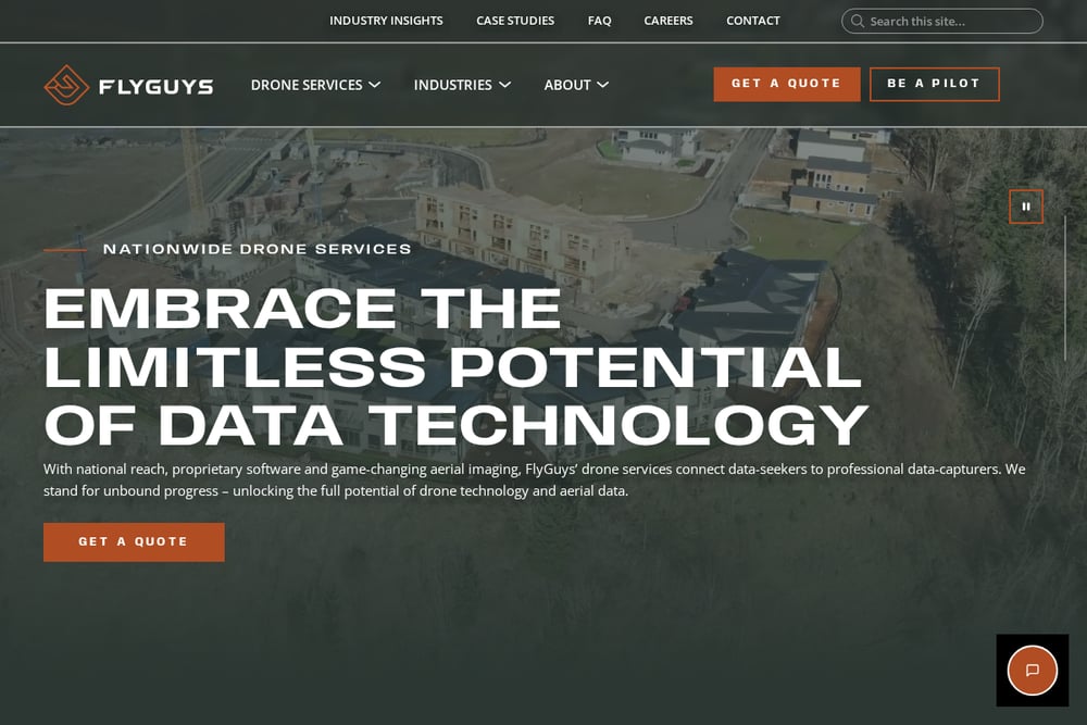 A screenshot of the FlyGuys website.
FlyGuys operates a national network of drone pilots and specializes in LiDAR data collection for surveyors and mappers. Their platform connects you with local operators who can capture high-density point clouds and photogrammetry for land development, construction, and energy projects. You get survey-grade deliverables without maintaining an in-house drone fleet. The company's focus on reality data capture makes it a strong fit for large-scale mapping across multiple sites. If you need LiDAR-backed volumetrics or topographic surveys at scale, FlyGuys is built for that workflow.
#2 Echo Point Aero | Las Vegas Commercial Drone Mapping & Aerial Services
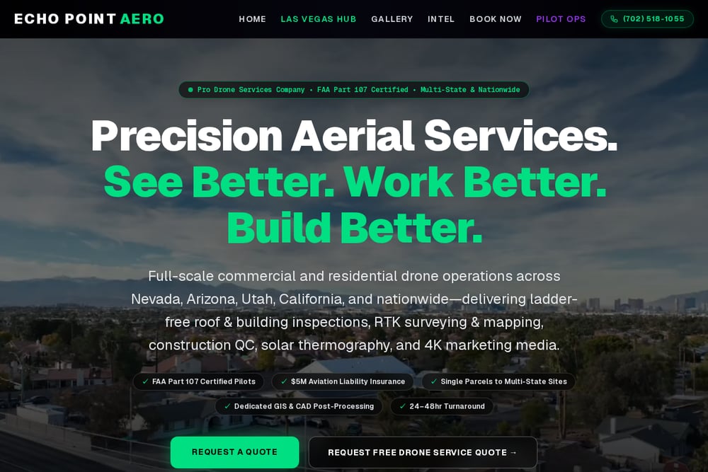 A screenshot of the Echo Point Aero | Las Vegas Commercial Drone Mapping & Aerial Services website.
Echo Point Aero is a Nevada-based drone services company built specifically for Las Vegas and Clark County. They hold FAA Part 107 certification, carry $5,000,000 in aviation liability insurance, and maintain pre-cleared LAANC access to the Class B airspace around Harry Reid International Airport. Their fleet delivers sub-centimeter RTK GNSS accuracy on the NAD83 Nevada East datum, which means your orthomosaics and volumetric calculations are survey-grade. You can use them for photogrammetry, 3D modeling, topographical mapping, industrial inspections, construction progression, and commercial real estate marketing. If your project is inside the Las Vegas Valley, Echo Point Aero is the local specialist you want on speed dial.
#3 Tri-Tech
Tri-Tech is a Houston-based land mapping and drone surveying company with a strong reputation in Texas. They provide aerial surveying services for boundary mapping, topographic surveys, and construction site analysis. Their team combines traditional surveying knowledge with drone-based data capture, which helps you get deliverables that hold up to engineering review. If your projects extend into Texas or you need a provider with deep land surveying roots, Tri-Tech is a solid choice. They are not a Las Vegas local, but their surveying expertise travels well.
#4 MYND Workshop
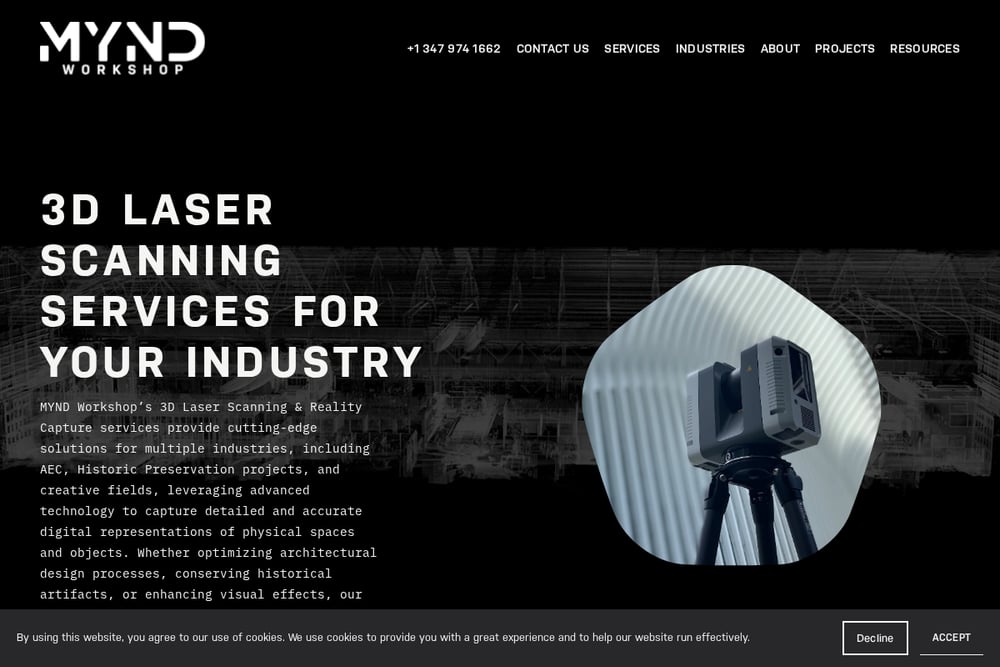 A screenshot of the MYND Workshop website.
MYND Workshop blends drone surveying with 3D laser scanning and digital twin services. They serve architecture, engineering, construction, and historic preservation clients who need high-resolution aerial data paired with interior scanning. Their drone survey services deliver photogrammetry, LiDAR, and orthophotos for site analysis and construction monitoring. If your project requires a digital twin or as-built documentation alongside aerial mapping, MYND Workshop offers a more integrated reality-capture workflow. They are a strong fit for complex buildings and heritage sites where precision matters.
#5 McLaren, an Affiliate of KCI
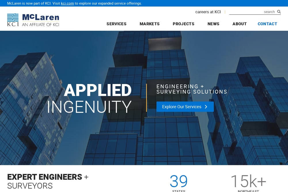 A screenshot of the McLaren, an Affiliate of KCI website.
McLaren, now part of KCI, brings engineering-grade survey and mapping services to the table. Their drone surveys and aerial mapping support structural, civil, and geotechnical engineering projects across multiple markets. You get the benefit of a firm that understands how aerial data feeds into design, permitting, and construction engineering. If your project needs a provider who can also handle structural inspections or marine and coastal mapping, McLaren offers that breadth. They are a larger firm, so smaller mapping-only jobs may find them less nimble than a dedicated drone shop.
How to Choose the Right Drone Mapping Partner
Start with your airspace. If you are inside the Las Vegas Class B veil, you need a provider with LAANC access and local knowledge. Echo Point Aero checks that box. Next, define your deliverable. Do you need a simple orthomosaic, or a full LiDAR point cloud? FlyGuys and MYND Workshop lean into advanced data capture. Consider your industry. Construction and engineering firms may prefer McLaren for its integrated design services. Real estate and marketing teams will care more about 4K video and cinematic tours, which Echo Point Aero also delivers. Finally, ask about insurance and safety compliance. A $5,000,000 aviation liability policy and OSHA 30 jobsite safety training are not optional on commercial sites. Match the provider to your project scope, not the other way around.
Automating Your Aerial Data Workflow
You can turn drone data into a repeatable asset. Schedule weekly or monthly flights for construction progression and feed the orthomosaics into your project management software. Use volumetric calculations to track stockpile inventory automatically. Connect your point clouds to BIM or CAD tools so your design team always works from the latest site conditions. For real estate, batch-process aerial photos and video into listing templates. The more you standardize your capture and delivery, the faster you turn raw imagery into decisions. Providers like Echo Point Aero and MYND Workshop already support digital twin and progression reporting workflows, so you are not starting from scratch.
The Bottom Line on Drone Mapping in Las Vegas
Las Vegas is a unique aerial environment. Between the Class B airspace, the desert terrain, and the pace of commercial construction, you need a provider who understands the local landscape. Echo Point Aero is built for exactly that, with Part 107 certification, RTK GNSS accuracy, and a service menu that spans surveying, inspections, and real estate marketing. FlyGuys and MYND Workshop bring advanced data capture and digital twin capabilities. Tri-Tech and McLaren offer deep surveying and engineering integration for projects that demand it. Pick the partner that matches your mission profile, and you will get aerial data you can actually use.