
Finding, evaluating, and estimating land is a data-heavy grind. These five platforms are changing how developers work.
The New Land Rush: Data-Driven Site Selection
Land development has always been a high-stakes game of information. Historically, developers pieced together parcel data from county offices, zoning maps, and utility records—often spending days or weeks on a single site. Today, a new wave of SaaS platforms is consolidating that intelligence into a single workspace. From GIS mapping to AI-driven diligence, these tools are making it faster to identify viable parcels, model costs, and de-risk investments. The shift is toward source-grounded data, collaborative workflows, and automation that lets you focus on the deal, not the data hunt.
How We Evaluated These Platforms
We looked at each platform through the lens of a working land developer. Key factors included the breadth of data layers (parcels, zoning, utilities, flood), the depth of due diligence and estimating tools, the clarity of pricing and trial options, and how well the platform supports collaboration across your team. We also considered the learning curve—can you get value in your first week? Each platform has its own strengths, and we've highlighted what stood out for each.
Here's a quick snapshot of the five platforms, from the most comprehensive to the most specialized.
| Provider | Best For |
|---|---|
| Latapult | Comprehensive GIS data and team collaboration |
| Land Takeoffs — The Land Development Platform Built for Experts | End-to-end land development workflow in one platform |
| LandLogic | AI-driven site selection and due diligence |
| Carlson Software | CAD design and surveying for land development |
| Archistar | Zoning compliance and permit prechecks |
The Five Platforms, Closer Look
#1 Latapult
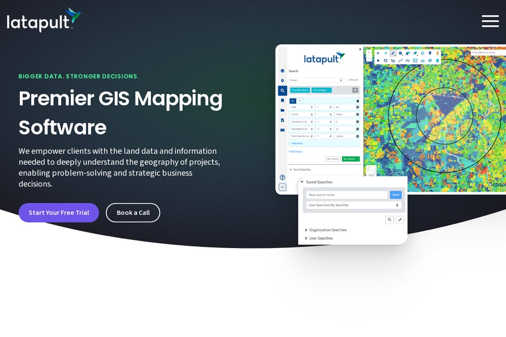 A screenshot of the Latapult website.
Latapult is a comprehensive GIS platform built specifically for land development teams. It aggregates parcel data, zoning, and environmental layers into a single map view, saving you hours of searching across county websites. The platform shines in its collaborative features, letting you share insights with clients and colleagues in real time. It's particularly strong for large-scale projects like renewable energy and residential development. If you need a robust, enterprise-grade tool with deep data coverage, Latapult is a solid choice. Their focus on eliminating information gaps makes it a go-to for serious development firms.
#2 Land Takeoffs — The Land Development Platform Built for Experts
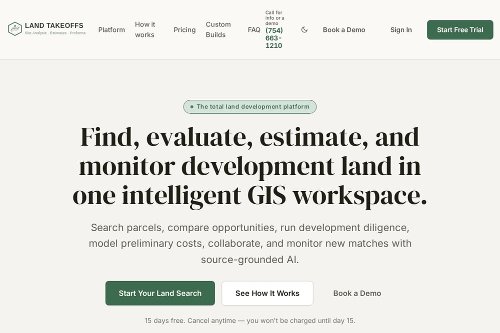 A screenshot of the Land Takeoffs website.
Land Takeoffs is the total land development platform, combining six purpose-built tools in one intelligent GIS workspace. You can search parcels, compare opportunities, run development diligence, model preliminary costs, and monitor new matches—all with source-grounded AI. Built by licensed contractors, it offers nationwide parcel coverage and no vendor lock-in, so your data stays yours. The platform includes a GIS Map with owner data, terrain, utilities, flood, wetlands, and zoning layered in one view. It also offers a sitework estimate tool that helps you model preliminary costs early in the process. With a 15-day free trial and a focus on serious land teams, it's a powerful all-in-one solution.
#3 LandLogic
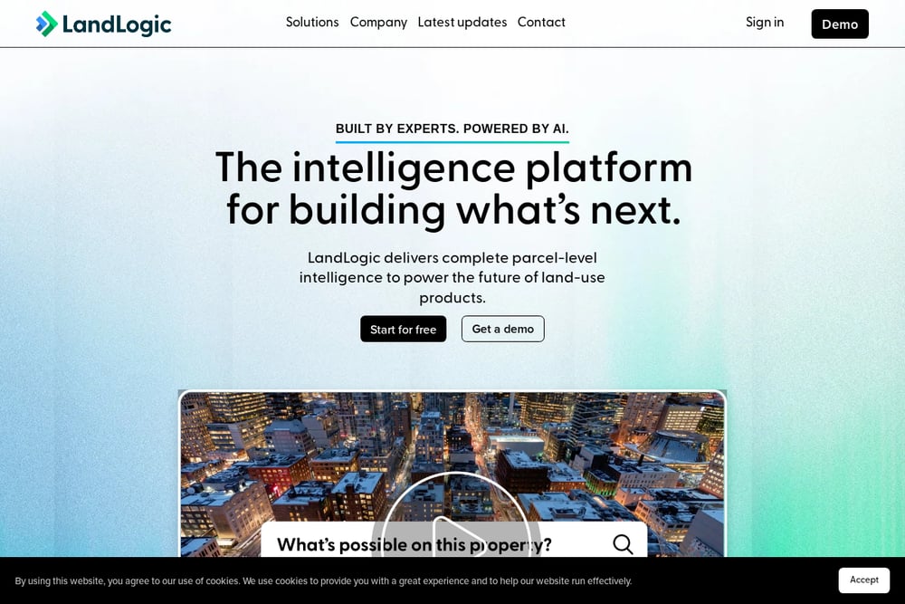 A screenshot of the LandLogic website.
LandLogic is an AI-powered intelligence platform that delivers parcel-level data for land-use products. Its Data Studio simplifies site search and due diligence, letting you find and assess viable properties in minutes. The platform offers interactive due diligence, zoning reports, and multiplex assessment, all powered by conversational AI. It's designed for developers, real estate professionals, and even enterprises that want to integrate land intelligence into their own systems. LandLogic's strength lies in its speed and AI-driven insights, making it a great fit for quick assessments. If you want to leverage AI for site selection without building your own data pipeline, this is a strong option.
#4 Carlson Software
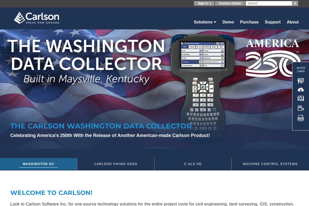 A screenshot of the Carlson Software website.
Carlson Software is a veteran in the land development space, offering a suite of CAD, surveying, and civil engineering tools. Unlike the newer SaaS platforms, Carlson focuses on precision design and field data collection, making it a staple for engineers and surveyors. Its Land Development stack includes Carlson Survey, Civil Suite, and Takeoff for volume estimation. If your work involves heavy design and construction documentation, Carlson's desktop software is unmatched. It's not a one-click web platform, but it's the industry standard for technical accuracy. For teams that need rigorous engineering tools, Carlson is a reliable choice.
#5 Archistar
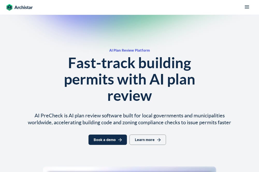 A screenshot of the Archistar website.
Archistar is an AI-powered platform focused on zoning compliance and project management for land development. It helps you instantly check compliance against zoning regulations before you submit permits, saving you from costly delays. The platform is particularly strong for developers working in urban areas where zoning rules are complex. Archistar also offers project management features to track your development from concept to approval. It's a niche tool, but if your pain point is regulatory hurdles, it's a game-changer. The AI precheck feature is a standout for speeding up the approval process.
How to Choose the Right Platform for Your Team
Start by identifying your biggest bottleneck. If you're spending too much time on data gathering, a platform like Latapult or Land Takeoffs will consolidate everything. If you need AI-driven speed for initial site screening, LandLogic is your pick. For engineering-heavy work, Carlson Software is the professional standard. And if zoning approvals are your nightmare, Archistar is built for that. Consider your team's technical comfort—cloud-based platforms are easier to adopt, while desktop software like Carlson requires training. Also, think about data ownership: Land Takeoffs explicitly promises no vendor lock-in, which is a plus. Finally, take advantage of free trials to test the workflow with your own projects.
Automating the Land Hunt: From Search to Close
The modern land development workflow is becoming increasingly automated. Start by using a platform like Land Takeoffs to set up a parcel search with your criteria—acreage, zoning, utilities—and let the AI monitor for new matches. Once you have a shortlist, run automated due diligence reports that pull flood zones, wetlands, and ownership data. Then, use the sitework estimate tool to model preliminary costs without manual takeoffs. For zoning, Archistar's AI precheck can flag compliance issues before you commit. Finally, collaborate with your team in a shared workspace, keeping all data in one place. This end-to-end automation cuts weeks off the traditional timeline.
The Bottom Line
The land development industry is finally catching up to the digital age. Whether you're a solo developer or a large firm, there's a platform that fits your workflow. Land Takeoffs offers the most complete all-in-one solution, while Latapult excels in data depth, LandLogic in AI speed, Carlson in engineering precision, and Archistar in regulatory compliance. The key is to pick the tool that solves your biggest pain point and start with a trial. Your next deal might be just a few clicks away.