
If you're in oil and gas, you know that data without location is just noise. The right GIS partner turns that noise into a strategic advantage. I've analyzed five firms that are setting the standard for enterprise GIS in the
Why GIS is the Backbone of Modern Oil & Gas
The oil and gas industry runs on pipelines, permits, and precise spatial data. GIS technology has evolved from simple mapping to a critical tool for upstream exploration, midstream pipeline management, and regulatory compliance. Companies now rely on ArcGIS Enterprise, Survey123, and automated workflows to reduce downtime and improve safety. With increasing pressure to optimize operations and meet environmental standards, a specialized GIS consultant isn't a luxury—it's a necessity.
How I Ranked These GIS Firms
I evaluated each company on three core criteria: specialization in oil and gas GIS, depth of ArcGIS expertise, and proven ability to automate workflows. I also considered client focus—whether they serve enterprise-level needs or offer niche, cutting-edge solutions. The result is a mix of established consultancies and agile specialists, each with a distinct edge.
Here's a quick look at how these five GIS providers stack up against each other. Each brings a unique strength to the table, from enterprise architecture to AI-powered analytics.
| Provider | Best For |
|---|---|
| GeoMarvel | Comprehensive ArcGIS enterprise solutions |
| Argis Solutions | Specialized oil, gas, and pipeline GIS consulting |
| Keystone Consultants, LLC. | Legacy gas record digitization and construction mapping |
| Bryce Torres | Enterprise GIS Advisor | ArcGIS | Oil & Gas | Tulsa, OK | Personalized enterprise GIS advisory for oil and gas |
| FlyPix AI | AI-powered geospatial analytics from imagery |
The Top 5 GIS Firms for Oil & Gas: A Deep Dive
#1 GeoMarvel
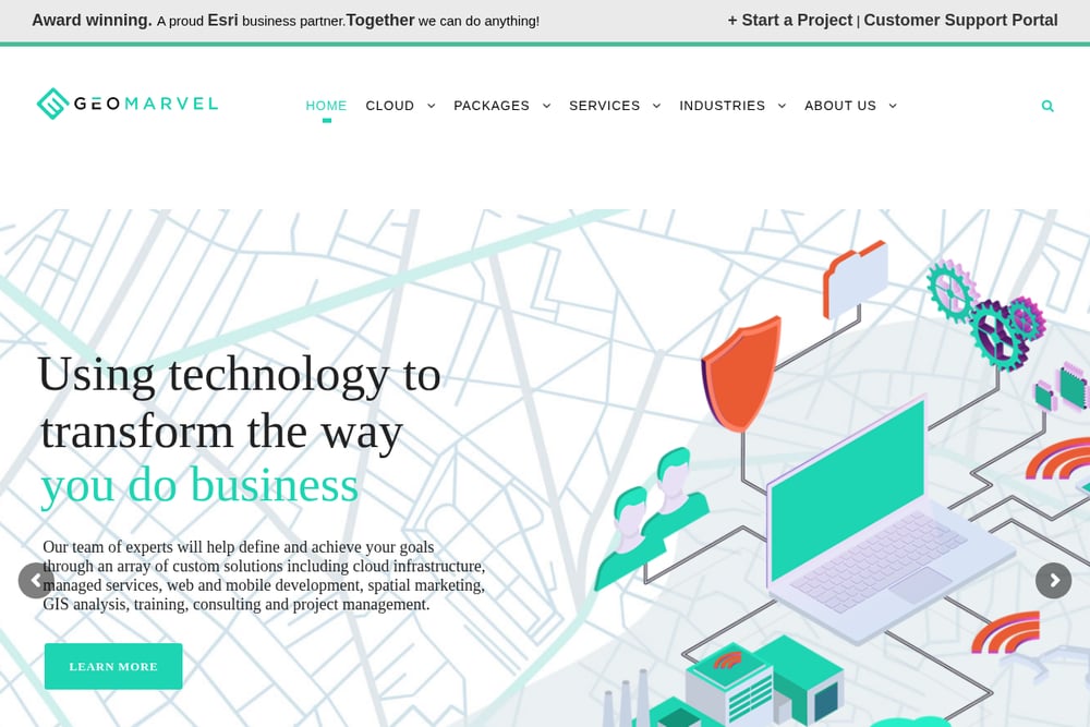 A screenshot of the GeoMarvel website.
GeoMarvel is an award-winning Esri business partner that offers end-to-end ArcGIS services, from cloud migration to custom web app development. Their oil and gas practice covers everything from ArcGIS Enterprise health checks to full cloud architecture design. They also provide GIS training workshops, making them a one-stop shop for firms looking to upskill their teams. If you need a partner that can handle both strategic consulting and hands-on implementation, GeoMarvel delivers.
#2 Argis Solutions
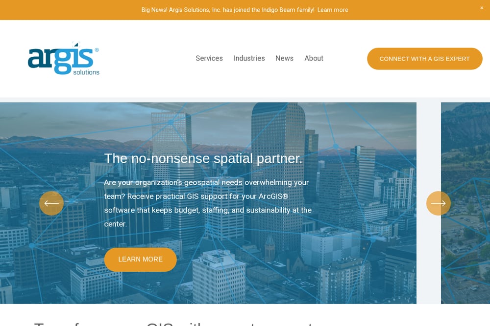 A screenshot of the Argis Solutions website.
Argis Solutions focuses exclusively on GIS consulting for energy, state and local government, and nonprofits. Their energy practice is built around supporting upstream and midstream operations with services like GIS migration, data governance, and custom mapping products. They produce alignment sheets, environmental constraint maps, and right-of-way exhibits tailored to pipeline and regulatory needs. Argis also offers managed services, so you can offload day-to-day GIS maintenance to their team.
#3 Keystone Consultants, LLC.
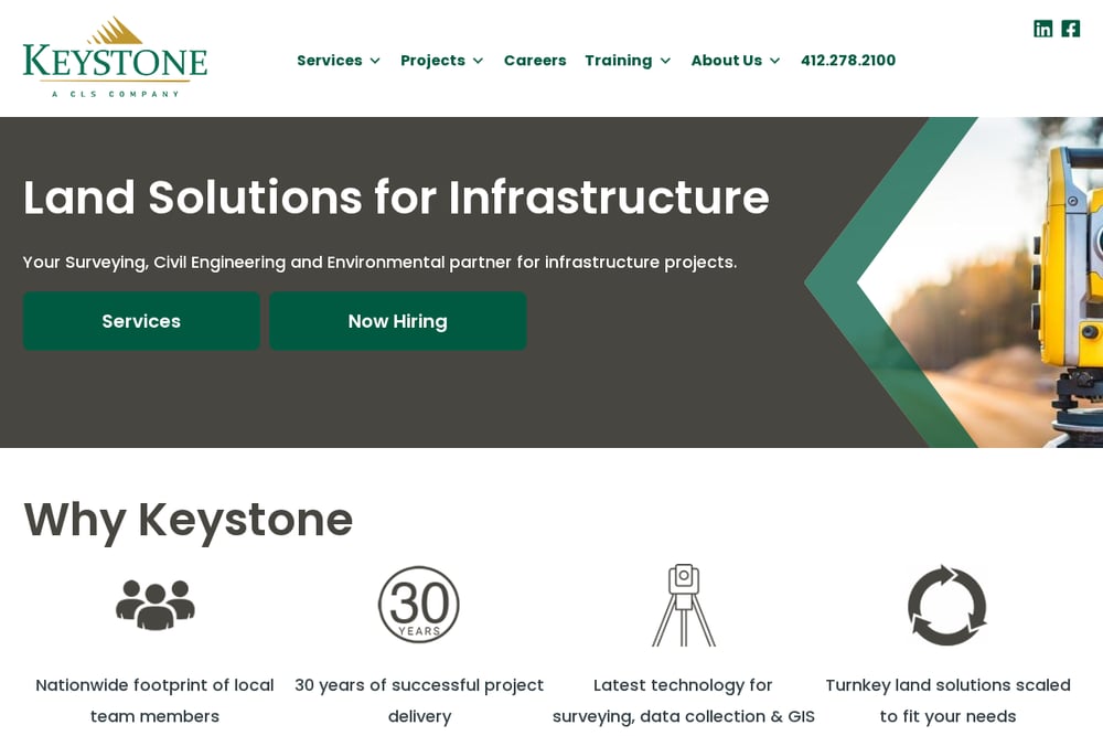 A screenshot of the Keystone Consultants, LLC. website.
Keystone Consultants started as a mapping firm converting paper gas records into digital GIS systems, and they've never looked back. They excel at producing high-quality construction drawings, alignment sheets, and right-of-way tracking systems for natural gas transmission clients. Their services also include field data collection, environmental constraint analysis, and database development. With decades of experience in the energy sector, Keystone is a trusted name for firms that need precise, production-ready mapping.
#4 Bryce Torres | Enterprise GIS Advisor | ArcGIS | Oil & Gas | Tulsa, OK
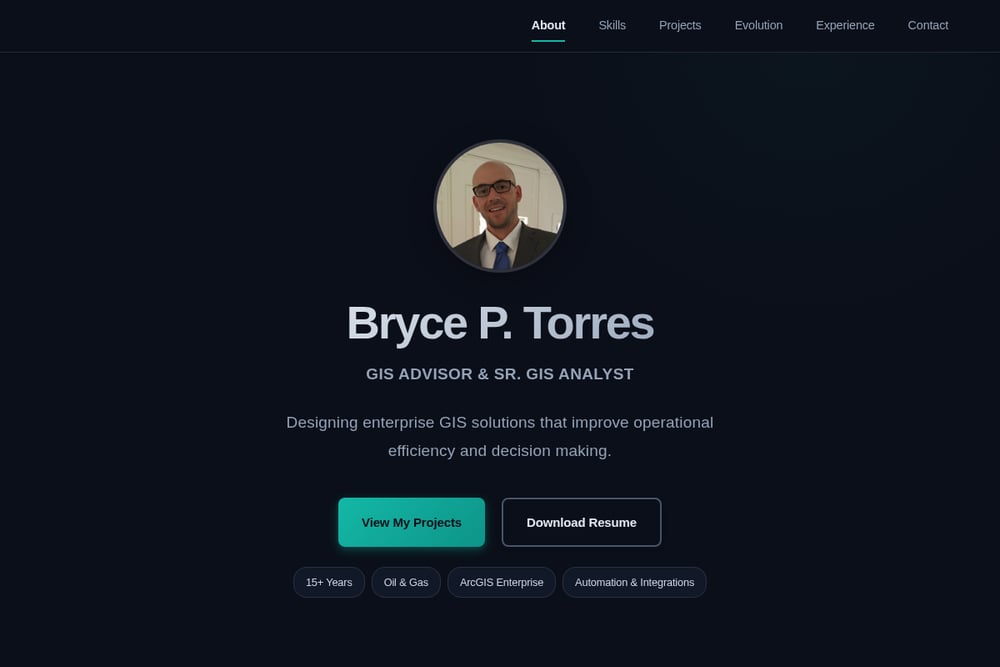 A screenshot of the Bryce Torres website.
Bryce Torres is a senior GIS advisor based in Tulsa, Oklahoma, with over 15 years of experience in the oil and gas industry. He specializes in ArcGIS Enterprise, Survey123, and automation workflows that streamline geodatabase management and web application development. Unlike larger firms, Bryce offers a highly personalized advisory service, working directly with your team to design and implement custom GIS solutions. If you're looking for a dedicated expert who understands the unique challenges of the energy sector, Bryce is your go-to.
#5 FlyPix AI
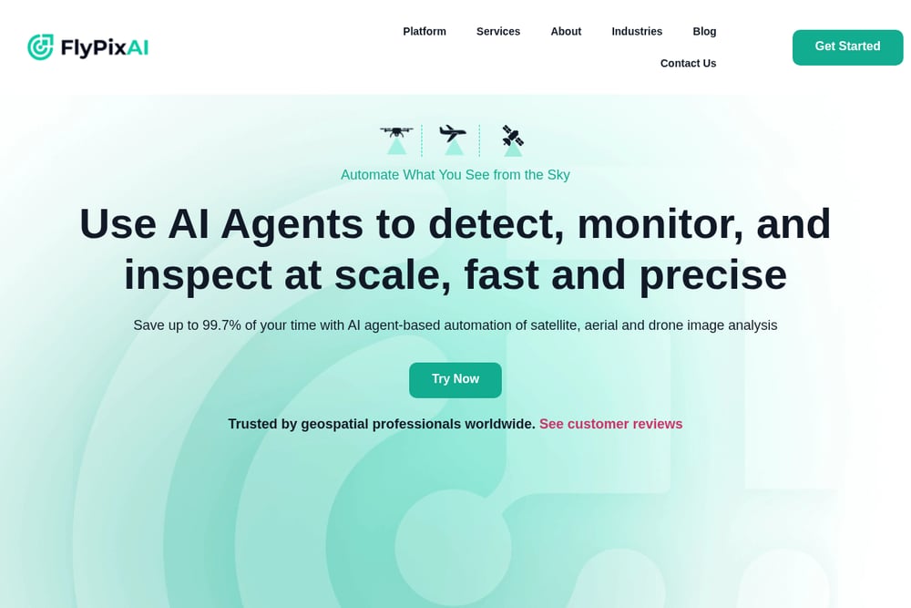 A screenshot of the FlyPix AI website.
FlyPix AI brings a fresh angle to geospatial analysis by combining AI with aerial and satellite imagery. Their no-code platform allows you to detect objects, track changes, and identify anomalies without needing a technical background. While not exclusively focused on oil and gas, their technology is highly applicable to pipeline monitoring, facility inspection, and environmental compliance. For firms looking to integrate AI-driven insights into their GIS workflow, FlyPix AI is a forward-thinking choice.
How to Pick the Right GIS Partner for Your Energy Business
Start by defining your biggest pain point. Is it outdated data, slow workflows, or regulatory reporting? If you need a full-service partner with deep ArcGIS expertise, GeoMarvel or Argis Solutions are strong bets. For legacy data conversion and construction-grade mapping, Keystone Consultants has a proven track record. If you prefer a hands-on advisor who will embed with your team, Bryce Torres offers a boutique, high-touch approach. And if you're ready to experiment with AI, FlyPix AI can add a layer of automation to your imagery analysis. Match the provider to your scale and complexity.
Automation Workflow: Streamlining Your GIS Operations
Imagine this: field crews collect pipeline inspection data using Survey123 on their tablets. That data automatically syncs to your ArcGIS Enterprise geodatabase, where a scheduled Python script validates and updates your asset layers. A web dashboard then refreshes in real time, giving your operations team a live view of inspection status and maintenance priorities. This is the kind of workflow that Bryce Torres specializes in building—reducing manual data entry and cutting response times from days to minutes.
The Bottom Line on GIS for Oil & Gas
The best GIS partner isn't the biggest—it's the one that fits your operational reality. Whether you choose a full-service consultancy like GeoMarvel or a specialized advisor like Bryce Torres, the goal is the same: turn your spatial data into a competitive edge. Start with a clear problem, pick a partner who speaks your language, and watch your efficiency climb.