
You have mountains of location data, but turning it into actionable insights is the real challenge. Whether you need precise GIS mapping, LiDAR classification, or digital publishing, the right partner can make all the difference. I've analyzed five companies that
The Geospatial Data Revolution: Why Your Business Needs a Specialist
The global GIS market is booming, driven by the explosion of IoT sensors, drone technology, and the need for smart city planning. Companies are no longer just collecting data; they are demanding end-to-end solutions that include data processing, mapping, and analysis. From utility mapping to digital twins, the ability to convert raw LiDAR point clouds or satellite imagery into usable formats is a competitive advantage. This is where specialized service providers step in, offering the expertise and technology to handle complex geospatial workflows. Choosing the right partner can mean the difference between a project that stalls and one that delivers rapid, accurate results.
How I Evaluated the Top GIS Data Processing Companies
I ranked these companies based on five key criteria: breadth of services (from data entry to advanced LiDAR), technological integration (use of AI, drones, and automation), industry experience (proven track record in sectors like telecom, infrastructure, and government), client focus (emphasis on long-term partnerships and data accuracy), and scalability (ability to handle projects of varying sizes and complexities). Each company was assessed on how well it can turn your raw data into a strategic asset.
Here is a quick comparison of the top five GIS data processing companies, highlighting their core strengths and what makes each one unique.
| Provider | Best For |
|---|---|
| Polosoft Technologies | End-to-end engineering and GIS solutions for telecom and infrastructure |
| Sai Infotech Systems | Large-scale LiDAR processing and digital twin creation |
| YCSPL | Integrated GIS and urban planning services for government projects |
| Sea Phoenix Private Limited - Seaphoenix | Cost-effective data processing and GIS mapping for small to medium businesses |
| GIS Vision India | Remote sensing and data digitization for land records and utilities |
Deep Dive: The Top 5 GIS Data Processing Companies
#1 Polosoft Technologies
 A screenshot of the Polosoft Technologies website.
Polosoft Technologies stands out with its comprehensive suite of engineering and GIS services, including LiDAR data processing, point cloud classification, and powerline vectorization. Their website showcases a strong focus on telecom and fiber engineering, making them a go-to for infrastructure projects. They also offer AI and automation services, which can speed up data processing tasks. If you need a partner that combines geospatial expertise with broader tech capabilities, Polosoft is a solid choice.
#2 Sai Infotech Systems
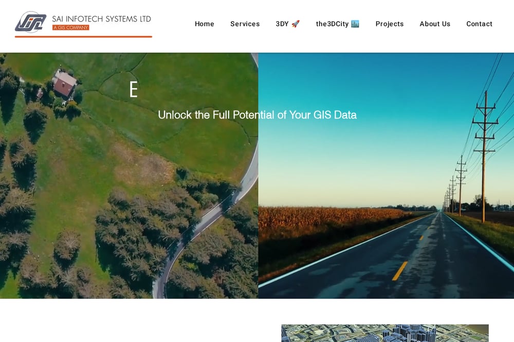 A screenshot of the Sai Infotech Systems website.
Sai Infotech Systems (SISL) positions itself as a leader in intelligent geospatial processing, with a team of over 300 GIS professionals. They emphasize automation and rapid turnarounds, offering services like mobile mapping, AI-driven asset inventories, and 3D city modeling. Their focus on digital twins and LiDAR processing makes them ideal for large-scale urban planning and utility mapping projects. SISL's website highlights a project-specific approach, ensuring accuracy and efficiency for complex datasets.
#3 YCSPL
YCSPL offers a broad range of services that go beyond GIS, including architecture, urban planning, and drone mapping. Their geographic information system division focuses on spatial data collection, mapping, and analysis to support informed decision-making for government and infrastructure clients. They emphasize unlocking the potential of untapped geographic data markets. YCSPL is a good fit if you need a partner that can handle both the technical GIS work and the broader project management aspects.
#4 Sea Phoenix Private Limited - Seaphoenix
 A screenshot of the Sea Phoenix Private Limited - Seaphoenix website.
Sea Phoenix Private Limited provides a focused set of IT solutions centered on data processing, GIS mapping, and digital publishing. Based in Madurai, India, they offer services like data entry, GIS 2D mapping, LiDAR, and even drone training. Their differentiator is a commitment to end-to-end data solutions that emphasize quality, accuracy, and long-term client partnerships. If you are looking for a reliable partner for data entry and GIS mapping with a personal touch, Sea Phoenix is worth considering.
#5 GIS Vision India
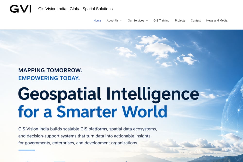 A screenshot of the GIS Vision India website.
GIS Vision India (GVI) specializes in remote sensing services and geospatial data analytics, offering everything from cadastral map digitization to customized attribute data integration. Their services include spatial data collection using GPS and drones, as well as data cleaning and quality control. GVI's focus on system integration and GIS training makes them a versatile partner for organizations looking to build internal geospatial capabilities. They are a strong choice for projects requiring precise data conversion and analysis.
How to Choose the Right GIS Data Processing Partner for Your Project
Start by defining the scope of your project. Are you dealing with raw LiDAR data that needs classification, or do you need simple data entry and digitization? For complex, large-scale projects like digital twins or powerline mapping, consider Sai Infotech Systems or Polosoft Technologies. If you are a government agency or need integrated urban planning, YCSPL is a strong candidate. For smaller businesses or projects with a tight budget, Sea Phoenix Private Limited offers reliable data processing and GIS mapping services. Finally, if your focus is on remote sensing and land record digitization, GIS Vision India provides specialized expertise. Always ask about their quality control processes and turnaround times.
Automating Your GIS Workflow: A Simple 3-Step Process
Step 1: Data Ingestion. Use automated tools to upload and organize your raw data, whether it's LiDAR point clouds, satellite imagery, or legacy paper maps. Step 2: Intelligent Processing. Leverage AI and machine learning algorithms to automate classification, feature extraction, and error correction, reducing manual effort. Step 3: Quality Assurance and Delivery. Implement automated checks to ensure data accuracy and consistency before delivering the final GIS layers or reports. This workflow can cut project timelines from months to days.
Your Next Move: Turning Data into Decisions
The right GIS data processing partner can transform your raw location data into a strategic asset. Whether you choose a full-service engineering firm like Polosoft Technologies or a specialized data processing company like Sea Phoenix Private Limited, the key is to align their strengths with your project's specific needs. Start by evaluating your data volume, complexity, and budget, then reach out to one of these top providers for a consultation. The geospatial intelligence you need is just a partnership away.