
Whether you're plotting a backcountry trail or a triathlon course, the right map makes all the difference. These five US studios blend GIS precision with artistic flair to get you there.
The Art and Science of Custom Mapping
Custom cartography is a niche where technology meets storytelling. From hiking trails to event courses, these studios use GIS data, GPS tracking, and design software to create maps that are both functional and beautiful. The demand for tailored maps has grown as outdoor recreation and event planning become more sophisticated. Each studio brings its own regional flavor and technical strengths, making the choice a matter of fit rather than one-size-fits-all.
How We Evaluated the Studios
We looked at each studio's service scope, pricing clarity, and local fit. Service scope covers the range of mapping types offered, from trail maps to event courses. Pricing clarity considers how upfront they are about costs. Local fit assesses how well their expertise aligns with your geographic needs. We also noted their design style and technical capabilities, but the ranking is about matching you with the right partner.
Here's a quick snapshot of the five studios, their specialties, and what they're best for.
| Provider | Best For |
|---|---|
| outrageGIS | Precise topographic trail maps for the Southeast |
| go the distance maps | Custom trail and event course maps |
| Purple Lizard Maps | Story-driven maps for public lands and nonprofits |
| Green Goat Maps | Interpretive kiosks and way-finding displays |
| Pisgah Map Co. | Durable, stylish trail maps for the Southeast |
The Studios, Explored
#1 outrageGIS
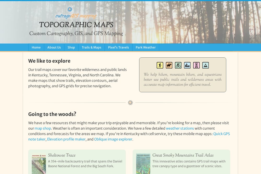 A screenshot of the outrageGIS website.
outrageGIS is a Kentucky-based studio that specializes in topographic maps for wilderness areas in the Southeast. Their maps include elevation contours, aerial photography, and GPS grids, making them ideal for precise navigation. They also offer custom cartography for a variety of clients, from animated population maps to bird's eye views. If you're heading to the woods in Kentucky, Tennessee, or Virginia, their trail maps are a solid choice. They also provide weather station data and mobile map apps for added convenience. For a deep dive into their work, check out their Sheltowee Trace and Red River Gorge maps.
#2 go the distance maps
 A screenshot of the go the distance maps website.
Go The Distance Maps is a small, independent studio run by Peter Parker, a cartographer and GIS specialist. They focus on custom hiking trail maps and course plotting for events like triathlons, with a clear tagline: 'Plan your adventure! Plot your course!' Their portfolio includes work for the Ganaraska Hiking Trails, Copeland Forest, and the Subaru Triathlon Series, showing a strong regional presence in Ontario. If you need a map for a race or a trail network, this studio offers a personal touch. Their website is straightforward, with a direct email contact for inquiries. For event organizers and trail associations, this is a go-to resource.
#3 Purple Lizard Maps
 A screenshot of the Purple Lizard Maps website.
Purple Lizard Maps is a Pennsylvania-based studio known for its award-winning cartographic design and deep expertise in outdoor recreation mapping. They partner with agencies, nonprofits, and organizations to create custom maps and wayfinding tools that are clear and engaging. Their special projects weave together historical, environmental, and cultural narratives, making their maps more than just navigation aids. They cover a wide range of regions, from Pennsylvania to Puerto Rico, and offer digital map packs for Avenza and Hiiker. If you're looking for a map that tells a story, Purple Lizard is a strong contender. Their team's values and collaborative approach are evident in their portfolio.
#4 Green Goat Maps
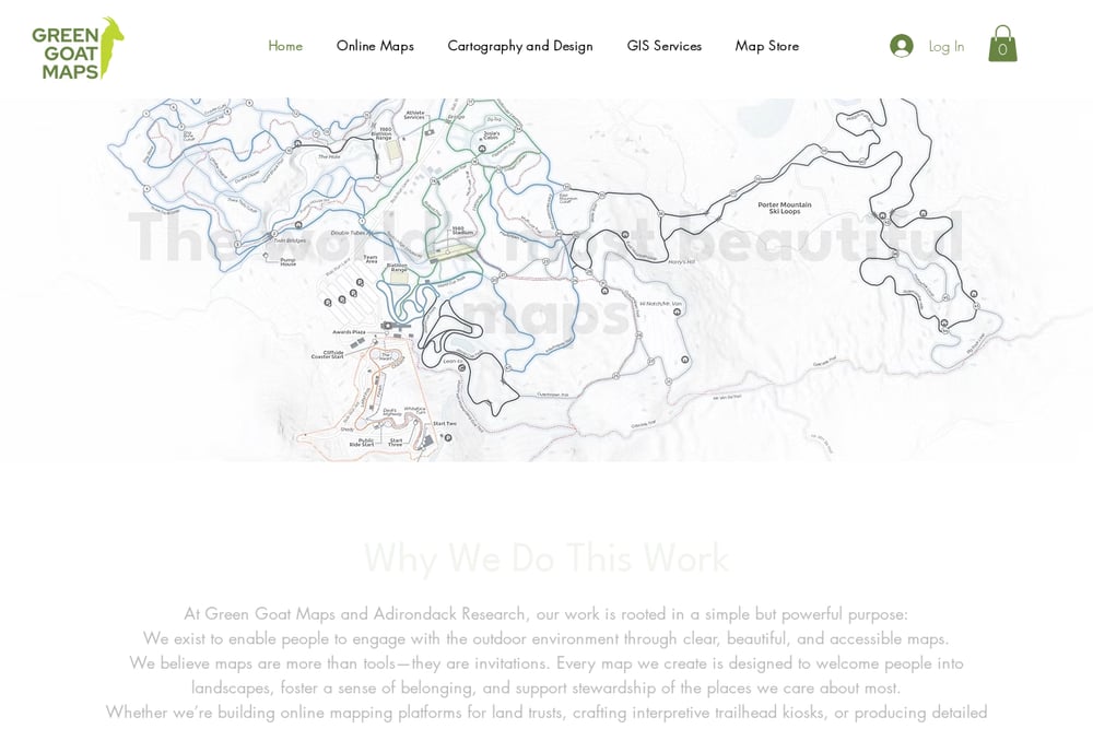 A screenshot of the Green Goat Maps website.
Green Goat Maps is a New York-based studio that excels in cartography and design, with a focus on way-finding displays and interpretive kiosks. They've worked with The Nature Conservancy, Barkeater Trails Alliance, and Champlain Area Trails, creating coordinated series of panels for preserve networks. Their maps are designed to support conservation, education, and public access, making them ideal for land trusts and municipalities. They also offer GIS services and have a guide to accessible map and kiosk design, showing a commitment to inclusivity. If you need a map that serves a broader mission, Green Goat Maps is a thoughtful choice. Their recent projects, like the Coastal Rivers Panels, demonstrate their ability to handle multi-site projects.
#5 Pisgah Map Co.
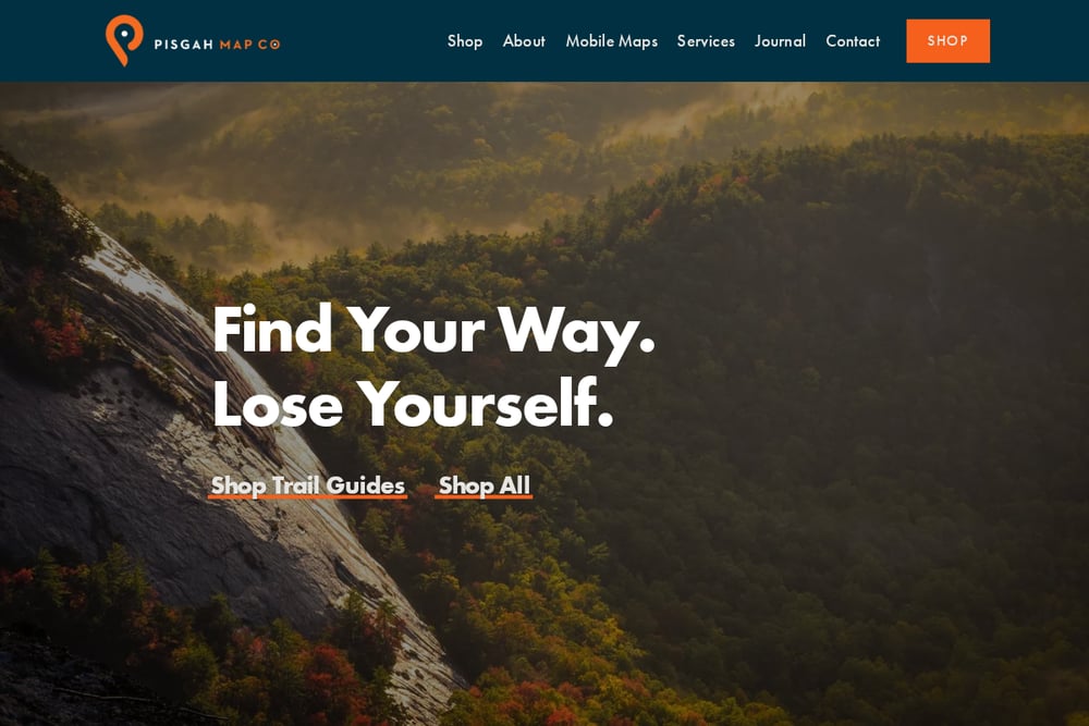 A screenshot of the Pisgah Map Co. website.
Pisgah Map Co. is a Western North Carolina studio that has been crafting trail maps since 2009. They offer a unique fusion of elegant design and trail-born intuition, making their maps a favorite among outdoor enthusiasts. Their services include custom trail maps, adventure guides, conservation cartography, and GIS analysis. They also sell trail guides, posters, and stickers, so you can take their maps on the go. If you're exploring the Pisgah National Forest or the broader Appalachian region, their maps are built to withstand outdoor abuse. Their website has a friendly, local vibe that resonates with hikers and bikers alike.
How to Choose Your Mapping Partner
Start by defining your project's scope. Are you mapping a single trail, a whole network, or an event course? Consider the region—each studio has its own geographic strengths. Think about the map's purpose: is it for navigation, interpretation, or marketing? Look at their portfolio to see if their style matches your vision. Don't forget to ask about pricing and turnaround times, as some studios are more transparent than others. Finally, reach out to them directly to gauge their responsiveness and willingness to collaborate.
Streamlining the Map-Making Process
While custom cartography is inherently hands-on, many studios use automation to speed up data processing. For example, GIS software can automatically generate elevation profiles and contour lines from raw GPS data. Some studios, like outrageGIS, offer mobile apps that capture GPS notes and elevation profiles in the field, which can be integrated into the final map. Purple Lizard Maps provides digital map packs for Avenza and Hiiker, allowing for instant updates and offline access. By leveraging these tools, you can reduce the back-and-forth and get your map faster.
The Right Map for Your Next Adventure
No matter which studio you choose, you're investing in a tool that will guide you safely and enrich your experience. Each of these five brings something unique to the table, from outrageGIS's technical precision to Purple Lizard's storytelling. Go The Distance Maps stands out for event-specific plotting, while Green Goat Maps excels in interpretive displays. Pisgah Map Co. offers a rugged, local charm. Take your time, review their work, and pick the one that feels like the best fit for your project. Happy mapping!