
Drones have transformed how businesses capture data, market properties, and monitor job sites. Whether you need aerial photography for a real estate listing, LiDAR mapping for a construction project, or thermal inspections for industrial assets, the right drone service provider
Why Drone Services Are Taking Off in Dallas-Fort Worth
The Dallas-Fort Worth metroplex is a hub for construction, real estate, and energy development, all industries that benefit immensely from aerial data. Drones now provide high-resolution imagery, 3D models, and thermal scans that were once only possible with expensive manned aircraft or ground-based surveys. This technology helps you reduce costs, improve safety, and make better decisions faster. As demand grows, so does the number of service providers, making it essential to choose a partner with the right equipment and experience for your specific needs.
How We Ranked the Best Drone Services
We evaluated each company based on service breadth, equipment quality, industry specialization, customer feedback, and local presence in Dallas-Fort Worth. Providers with advanced sensors like LiDAR and thermal cameras scored higher for technical capability. We also considered turnaround time, pricing transparency, and the ability to handle both small and large-scale projects. Finally, we looked at real client reviews and case studies to confirm reliability and professionalism.
Here is a quick comparison of the top five drone service providers in Dallas-Fort Worth, highlighting what each does best.
| Provider | Best For |
|---|---|
| FlyGuys | Advanced LiDAR and multispectral data collection |
| Lone Star Drone | Custom drone solutions and thermography |
| Drone Brothers | Construction progress tracking and inspections |
| Drone Services | Commercial Drone Services | Professional Drone Services | Precision 3DDFW | Local real estate and construction aerial documentation |
| Dallas Drone Guy | Event coverage and fast-turnaround real estate shoots |
Detailed Reviews of the Top 5 Drone Service Providers
#1 FlyGuys
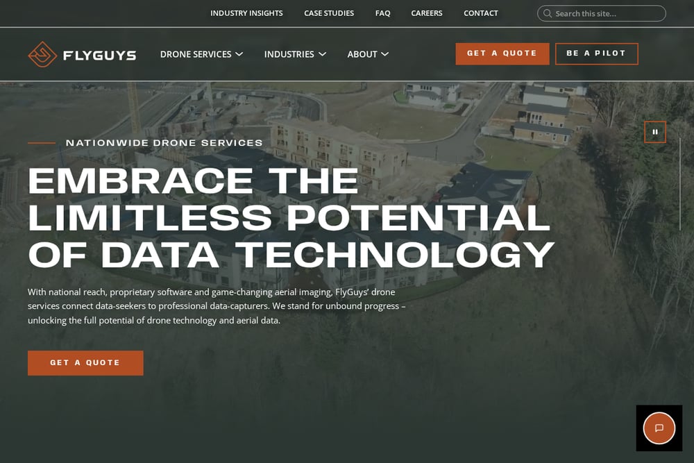 A screenshot of the FlyGuys website.
FlyGuys brings a national network of FAA-certified pilots to Dallas-Fort Worth, offering advanced data collection with LiDAR, RGB, infrared, and multispectral sensors. Their team processes raw data into point clouds, 3D maps, and renderings that give you actionable insights for construction, energy, and industrial projects. They also provide dedicated project managers who coordinate every step, from flight planning to final deliverables. If you need high-precision surveying or volumetric analysis, FlyGuys has the tools and expertise to get it done right.
#2 Lone Star Drone
 A screenshot of the Lone Star Drone website.
Lone Star Drone is a veteran-owned company that delivers a full spectrum of aerial solutions, including mapping, thermography, 3D modeling, and video production. Their team designs custom drone ecosystems and payloads for unique project requirements, making them a strong choice for engineering and industrial clients. They also offer drone repair and support services, so you can keep your own fleet operational. With a focus on precision and mission readiness, Lone Star Drone sets a high bar for quality and reliability.
#3 Drone Brothers
 A screenshot of the Drone Brothers website.
Drone Brothers specializes in construction drone services across Dallas, providing progress photos, videos, mapping analytics, and facade inspections. Their nationwide network of pilots means they can scale quickly for large projects, while still offering personalized service for local jobs. They cover trades like cement, earthwork, HVAC, and roofing, giving general contractors a single source for aerial documentation. If you need consistent, high-quality site monitoring from pre-construction through completion, Drone Brothers delivers.
#4 Drone Services | Commercial Drone Services | Professional Drone Services | Precision 3DDFW
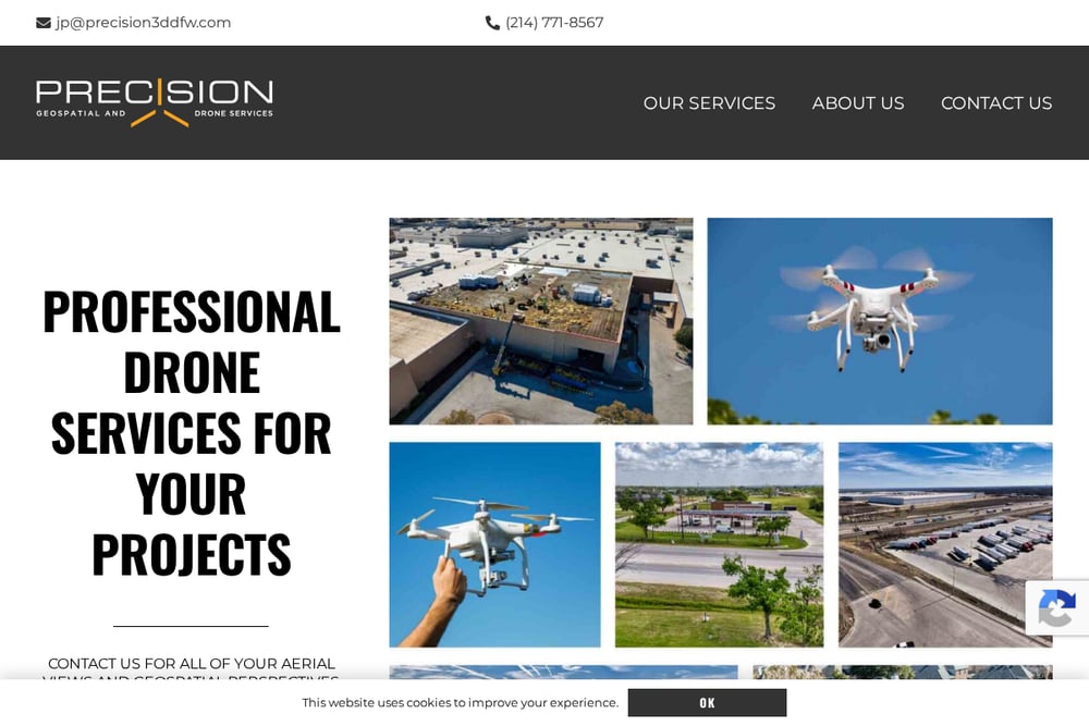 A screenshot of the Precision 3DDFW website.
Precision 3D DFW provides professional drone services including aerial photography, mapping, and inspections tailored for real estate and construction projects in the Dallas-Fort Worth area. Their geospatial visual solutions help you monitor site conditions, document progress, and create compelling marketing materials. As a local operator, they offer personalized attention and quick turnaround times for clients who need reliable aerial data. For straightforward commercial drone work with a personal touch, Precision 3D DFW is a solid choice.
#5 Dallas Drone Guy
Dallas Drone Guy focuses on event coverage, commercial real estate shoots, and construction observation with a 48-hour turnaround on 4K video and hi-res photos. Their simple time-based pricing means no surprise fees, and they are FAA-certified and fully insured. They have flown everything from weddings and festivals to grand openings and site analysis, making them a versatile option for creative and professional needs. If you want fast delivery and clear pricing for aerial imagery, Dallas Drone Guy delivers.
How to Choose the Right Drone Service for Your Project
Start by defining your project goals: do you need simple aerial photos, or complex LiDAR data for surveying? For construction progress tracking, look for providers with experience in site monitoring and analytics. If you are marketing a property, prioritize companies that offer fast turnaround and high-resolution video. Always verify that the provider is FAA-certified and insured, and ask for samples of similar work. Finally, consider whether you need a local operator for quick site visits or a national network for multi-location projects.
Streamlining Your Workflow with Drone Data
Integrating drone data into your existing workflows can save hours of manual effort. Start by scheduling regular flights to capture site progress or asset conditions. Use photogrammetry software to convert images into 3D models or orthomosaic maps that can be shared with stakeholders. For construction, overlay drone maps with BIM models to track deviations. Many providers also offer API access or cloud platforms that let you automate data delivery directly to your project management tools.
The Bottom Line on Dallas-Fort Worth Drone Services
The drone service market in Dallas-Fort Worth is competitive, but each provider on this list brings unique strengths. FlyGuys leads for technical depth and national scale, while Lone Star Drone excels in custom solutions and thermography. Drone Brothers is the go-to for construction professionals, and Precision 3D DFW offers reliable local service for real estate and site documentation. Dallas Drone Guy rounds out the list with fast, affordable options for events and marketing. Match your project needs to the provider's specialty, and you will get the best results from your aerial investment.