
If you're managing a construction site, you know that traditional surveying can be slow, expensive, and prone to errors. Drone orthomosaic mapping has changed the game, giving you a high-resolution, top-down view of your entire project in minutes. But with
Why Drone Orthomosaic Mapping Is a Construction Game-Changer
The construction industry is embracing aerial data like never before. According to the FAA's CY 2024 Small UAS Survey Report, real estate and construction are the most common sectors for commercial drone operators, with over 500 Part 107 operators active in the field. Orthomosaic mapping—stitching hundreds of aerial images into a single, geometrically corrected map—gives you a precise, measurable view of your site. This technology replaces slow, error-prone manual surveys with automated, high-accuracy data, enabling faster decision-making, better coordination, and significant cost savings. Whether you're tracking earthwork volumes, monitoring progress, or creating as-built documentation, orthomosaic maps are becoming a standard tool for forward-thinking project teams.
How I Ranked These Services
I evaluated each provider based on five key criteria: accuracy and resolution of orthomosaic outputs, ease of integration with existing construction workflows, range of services (from basic mapping to advanced analytics), customer support and training resources, and overall value for money. I also considered real-world user feedback and the ability to deliver actionable insights that improve project visibility and stakeholder communication.
Here's a quick look at how the top five drone orthomosaic services stack up against each other. Each one brings something unique to the table, so read on to find the perfect fit for your next project.
| Provider | Best For |
|---|---|
| DroneDeploy | All-in-one aerial intelligence with AI-driven analytics |
| OpenSpace | Integrated visual documentation and drone imagery management |
| THE FUTURE 3D | Turnkey, survey-grade orthomosaic and LiDAR services |
| HOME | Orthomosaic LLC | Focused, high-resolution orthomosaic mapping for construction monitoring |
| Drone Brothers | User-friendly orthomosaic mapping with educational support |
The Top 5 Drone Orthomosaic Services for Construction
#1 DroneDeploy
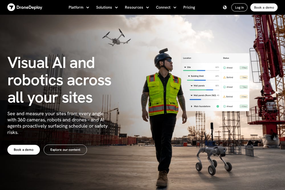 A screenshot of the DroneDeploy website.
DroneDeploy is a powerhouse platform that combines aerial and ground data capture with advanced AI analytics. You can generate orthomosaic maps, 3D terrain models, and cut/fill analyses automatically, saving you hours of manual work. The platform's Progress AI and Earthworks AI tools give you real-time insights into site changes and volume calculations. It integrates seamlessly with popular construction software, making it a top choice for teams that need speed and accuracy. DroneDeploy's ROI calculator even helps you estimate potential savings before you commit.
#2 OpenSpace
 A screenshot of the OpenSpace website.
OpenSpace is known for its comprehensive visual documentation platform, and its drone mapping capabilities are equally impressive. With OpenSpace Air, you can manage drone imagery alongside your 360-degree site captures, creating a single source of truth for your project. The platform uses AI autolocation to automatically tag images to your plans, so you can track progress without manual effort. It's particularly strong for large-scale projects where coordination between field and office teams is critical. OpenSpace also offers robust tools for QA/QC and insurance documentation.
#3 THE FUTURE 3D
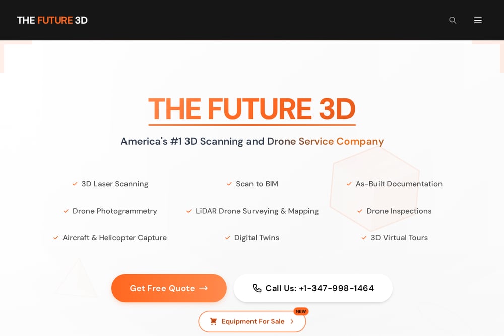 A screenshot of the THE FUTURE 3D website.
THE FUTURE 3D offers a full suite of reality capture services, including drone photogrammetry, LiDAR surveying, and 3D laser scanning. They produce survey-grade orthomosaics and point clouds that are ready for BIM integration in Revit and AutoCAD. Their team handles everything from flight planning to data processing, so you get turnkey results without needing in-house drone expertise. They serve a wide range of industries, from construction and engineering to real estate and utilities. If you need high-accuracy, professional-grade outputs, THE FUTURE 3D delivers.
#4 HOME | Orthomosaic LLC
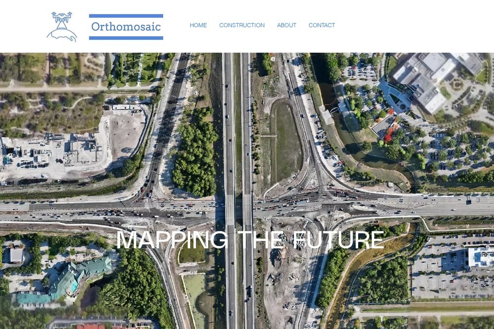 A screenshot of the HOME | Orthomosaic LLC website.
Orthomosaic LLC specializes in high-resolution aerial mapping and topographic orthomosaic generation using advanced drone technology and photogrammetry workflows. They create precise orthomosaics and terrain models that give you a comprehensive view of your project site from above. Their services include 3D aerial imagery, topographic orthomosaics, and aerial documentation for construction progress monitoring, as-built documentation, and site analysis. They serve engineers, contractors, developers, and project managers, transforming aerial data into actionable insights to improve project visibility and stakeholder communication. While they may not have the brand recognition of larger platforms, their focused expertise and personalized service make them a solid choice for construction teams that need reliable, high-quality mapping.
#5 Drone Brothers
 A screenshot of the Drone Brothers website.
Drone Brothers offers orthomosaic mapping analytics that provide project managers with a unique top-down view of the entire construction site. Their high-resolution site maps give you an overhead view of the layout and structures, making it easy to navigate and understand your project. They also offer panoramas and photo tours, so you can virtually walk through the site from your home screen. Drone Brothers focuses on making aerial data accessible and actionable for construction teams, with a strong emphasis on education and support. Their service is ideal for teams that want a straightforward, easy-to-use mapping solution without a steep learning curve.
How to Choose the Right Drone Orthomosaic Service for Your Project
Start by defining your primary goal: do you need raw data for in-house analysis, or do you want a turnkey service that delivers finished maps? If you have a large team and need AI-driven insights, DroneDeploy or OpenSpace are strong contenders. For survey-grade accuracy and BIM-ready outputs, THE FUTURE 3D is a great fit. If you prefer a more personalized, focused approach with direct communication, Orthomosaic LLC offers specialized expertise. And if you're new to drone mapping and want a supportive, educational partner, Drone Brothers is an excellent choice. Consider your budget, project scale, and whether you need ongoing monitoring versus one-time documentation.
Automate Your Workflow with Drone Orthomosaic Data
Imagine this: you schedule a weekly drone flight over your site. The drone captures hundreds of images, which are automatically uploaded to your chosen platform. Within hours, you receive an updated orthomosaic map, a 3D terrain model, and a volume calculation report showing exactly how much earth has been moved. You can overlay this data on your original plans to spot discrepancies instantly. This automated workflow eliminates manual surveying, reduces errors, and keeps your entire team aligned with real-time site conditions.
The Bottom Line on Drone Orthomosaic Services
Drone orthomosaic mapping is no longer a luxury—it's a necessity for modern construction projects that demand speed, accuracy, and transparency. Whether you choose a comprehensive platform like DroneDeploy, an integrated solution like OpenSpace, a professional service like THE FUTURE 3D, a focused provider like Orthomosaic LLC, or a user-friendly option like Drone Brothers, you'll gain a powerful tool for site documentation and progress tracking. The key is to match the service to your specific needs and workflow. Start with a trial or a single project to see which provider fits best, and watch your project visibility soar.