
Precision matters when you're mapping the world from above. These five firms bring serious tech and decades of know-how to your next infrastructure, utility, or land development project.
The Sky's the Limit: Aerial Survey & Mapping in 2026
Aerial survey and mapping has evolved far beyond simple photographs. Today, it's about capturing millions of data points with LiDAR, creating ultra-high-res orthophotos, and feeding GIS systems that power decisions for transportation, utilities, and environmental projects. With drones and manned aircraft both in play, firms are offering faster, safer, and more accurate data than ever. Whether you're a civil engineer, a municipal planner, or a private developer, the right mapping partner can save you time, money, and headaches. The US market is crowded, but a few names stand out for their tech, experience, and client focus.
How We Evaluated These Firms
We looked at each firm's service scope, technology stack, industry experience, and client fit. We considered how well they serve engineering firms, government agencies, and private clients, and whether they offer the full spectrum from aerial photography to LiDAR and GIS. We also weighed their track record, certifications, and ability to handle mission-critical projects. Each firm brings something different to the table, and we've highlighted what stood out for each.
Here's a quick snapshot of the five firms we're diving into. Each one has its own strengths, so read on to find the best match for your project.
| Provider | Best For |
|---|---|
| NV5 | Large-scale infrastructure and asset management projects |
| GPSi, Aerial Survey & Mapping | Precision mapping for engineering, municipal, and environmental projects |
| McLaren, a Division of KCI | Marine, coastal, and transportation infrastructure projects |
| Apex Companies | Environmental and water-related projects with mapping needs |
| FlyGuys | Surveyors and mappers needing drone data collection and LiDAR services |
The Firms: A Closer Look
#1 NV5
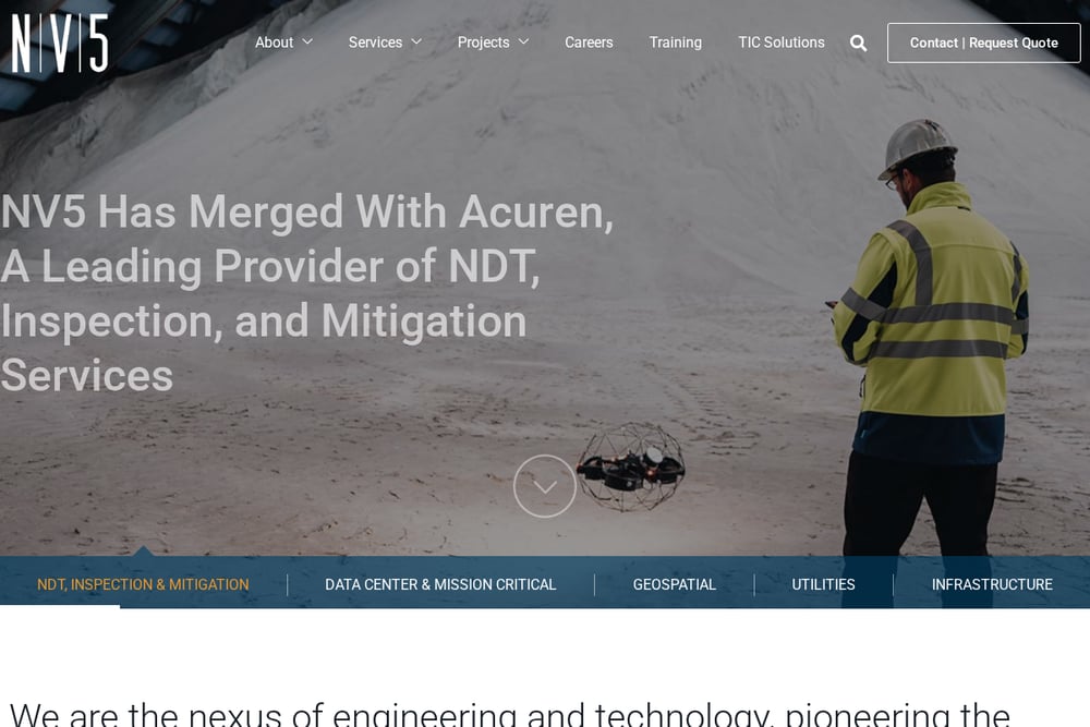 A screenshot of the NV5 website.
NV5 is a tech-enabled engineering and consulting giant with over 100 offices nationwide. They offer aerial photogrammetry as part of a broader suite that includes engineering design, asset management, and geospatial data analytics. Their scale means they can handle massive infrastructure projects, from roadways to utilities, with in-house expertise across the entire asset lifecycle. If you need a partner that can do it all—survey, map, design, and manage—NV5 brings serious firepower. They're particularly strong for large public and private sector clients looking for a one-stop shop. Check out their aerial photogrammetry services to see how they integrate mapping with engineering.
#2 GPSi, Aerial Survey & Mapping
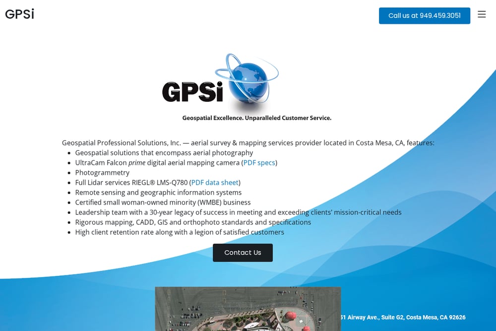 A screenshot of the GPSi, Aerial Survey & Mapping website.
GPSi is a woman-owned geospatial solutions company based in Costa Mesa, CA, with a 30-year legacy of precision aerial survey and mapping. They specialize in aerial photography, photogrammetry, full LiDAR services, and remote sensing, using top-tier equipment like the UltraCam Falcon prime and RIEGL LMS-Q780. Their client list spans transportation, utilities, municipalities, and land development, and they're known for high retention and rigorous standards. If you're an engineering firm or government agency needing reliable, accurate data for mission-critical projects, GPSi brings a personal touch backed by decades of experience. They're certified as a small woman-owned minority business, which can be a plus for public sector contracts. Visit GPSi's website to see their full service list and portfolio.
#3 McLaren, a Division of KCI
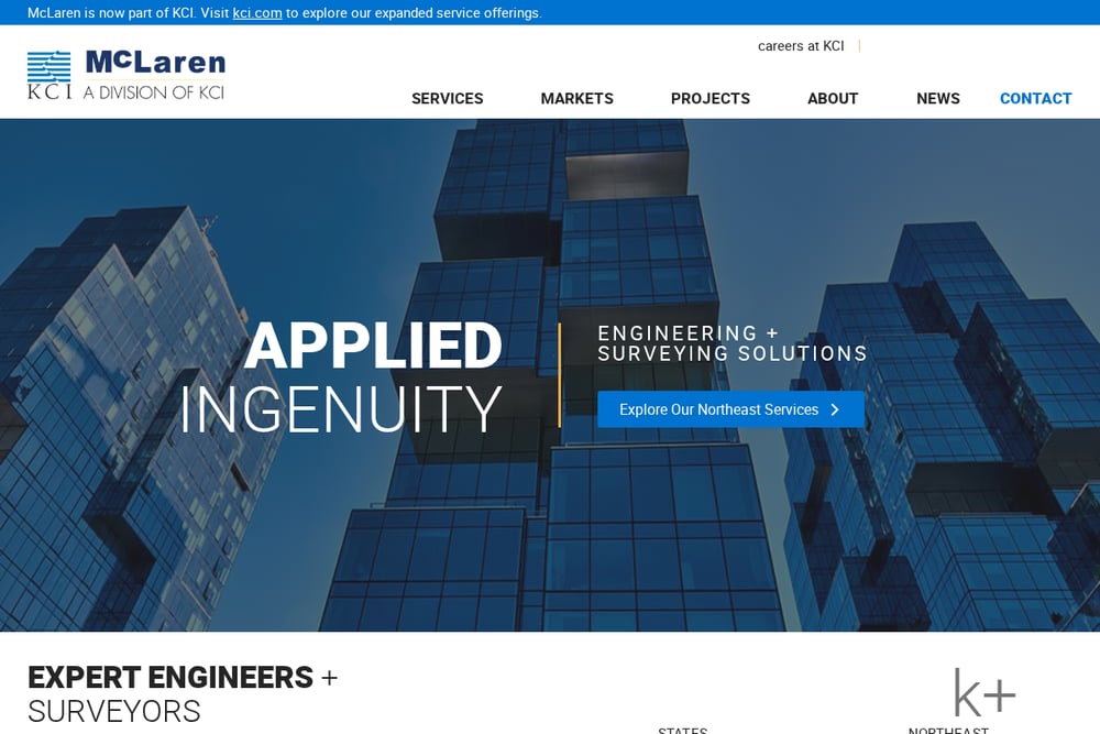 A screenshot of the McLaren, a Division of KCI website.
McLaren, now part of KCI, brings a strong focus on drone surveys and aerial mapping, especially for structural, civil, and marine projects. They offer a range of services from hydrographic surveys to bridge and highway engineering, making them a solid choice for complex infrastructure work. Their integration with KCI expands their capabilities, giving you access to a larger team and more resources. If you're working on coastal, marine, or transportation projects, McLaren's expertise in those niches is hard to beat. They emphasize applied ingenuity, which means they're not just collecting data—they're solving problems. Check out their drone survey and aerial mapping services for more details.
#4 Apex Companies
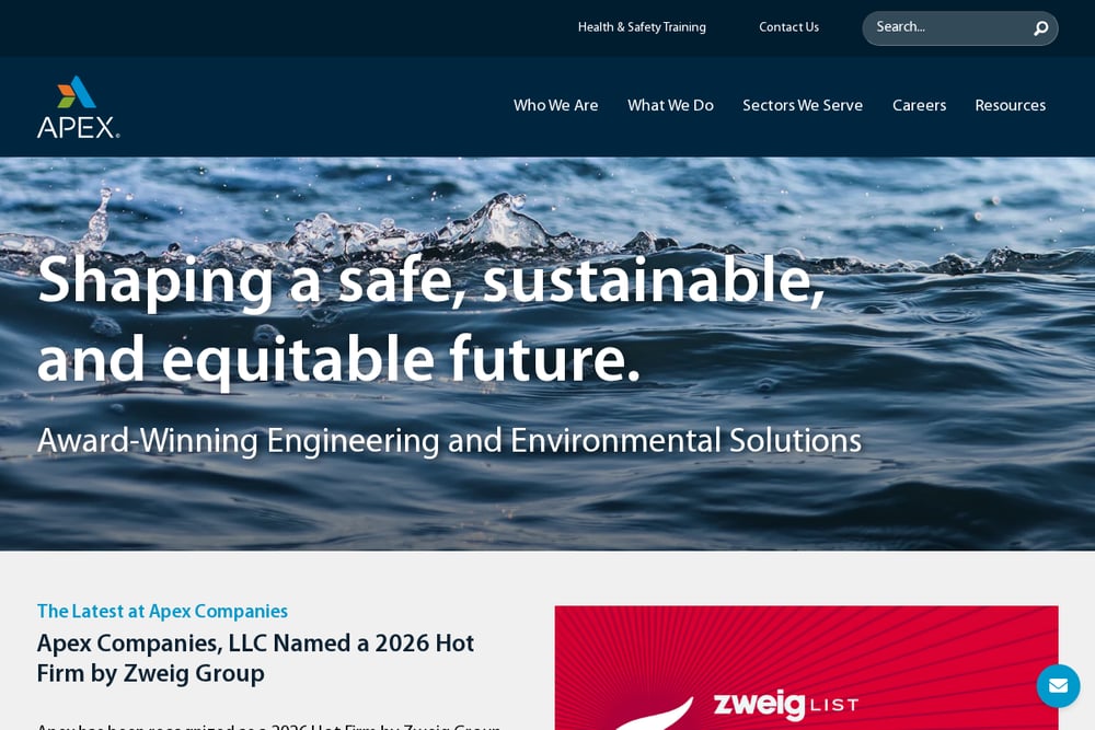 A screenshot of the Apex Companies website.
Apex Companies is a national consulting and engineering firm that offers surveying and mapping as part of a broader suite of water, environmental, and infrastructure services. They bring a science-based approach, which is great for projects that need environmental compliance or sustainability considerations. Their all-inclusive boundary surveying and mapping services are designed to support everything from land development to public sector work. If you need a partner that can handle the mapping and the environmental side of things, Apex is a strong contender. They have a solid reputation for delivering cost-effective solutions across diverse sectors. Explore their surveying and mapping services to see how they integrate with their other offerings.
#5 FlyGuys
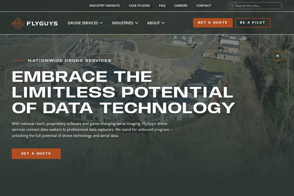 A screenshot of the FlyGuys website.
FlyGuys is a drone-focused service provider that helps surveyors and mappers with data collection, consultation, and drone rentals. They specialize in LiDAR and aerial surveying, using drones to capture precise point clouds that can be turned into a variety of deliverables. Their approach is all about saving you time and money, whether you need a one-off survey or ongoing data collection. If you're a licensed surveyor looking to expand your capabilities without investing in expensive equipment, FlyGuys is a flexible partner. They serve industries from agriculture to construction, and their team is known for being responsive and practical. Check out their drone mapping services to see how they can support your next project.
How to Choose the Right Aerial Survey & Mapping Partner
Start by defining your project's scope and accuracy needs. If you're working on a large infrastructure project with multiple phases, a full-service firm like NV5 or Apex might be the best fit. For specialized work like marine or coastal mapping, McLaren's niche expertise could be invaluable. If you're a smaller engineering firm or municipality looking for a partner with a personal touch and deep experience, GPSi's 30-year track record is hard to ignore. And if you're a surveyor who just needs drone data collection, FlyGuys offers flexibility without the overhead. Always ask about their technology, standards, and past projects in your industry. And don't forget to check certifications—like GPSi's WMBE status—if you're bidding on public contracts.
Streamlining Your Mapping Workflow
Once you've chosen a partner, you can streamline your workflow by integrating their data directly into your GIS or CADD systems. Many firms, including GPSi and NV5, provide orthophotos and point clouds that are ready for analysis. Set up automated data delivery and quality checks to keep projects moving. And consider using drone services like FlyGuys for rapid, on-demand data collection when you need quick updates. The goal is to get accurate, actionable data into your team's hands as fast as possible.
The Bottom Line
The aerial survey and mapping landscape is rich with options, but the right partner depends on your specific needs. GPSi stands out for its precision, legacy, and woman-owned certification, making it a top choice for engineering and municipal clients. NV5 brings scale and integration, McLaren excels in niche infrastructure, Apex offers environmental expertise, and FlyGuys provides drone flexibility. No matter which you choose, investing in high-quality aerial data will pay off in better decisions and smoother projects. So take your time, compare your options, and get ready to see your project from a whole new angle.