
You need field data you can trust before the first design meeting. These five reality capture providers turn complex sites into records your engineers can actually use.
Where reality capture fits in modern infrastructure work
Reality capture has moved from novelty to necessity. Utilities, industrial facilities, and commercial owners now expect a spatially accurate digital record of existing conditions before anyone designs, inspects, or plans a retrofit. The old approach—send a crew, take photos, hope the notes match the drawings—creates change orders and safety gaps. Today's providers combine LiDAR, photogrammetry, thermal imaging, and drone capture into deliverables like point clouds, orthomosaics, and as-built documentation. The differentiator is no longer the hardware. It is how well a provider defines scope, validates data, and hands you something your team can open in a browser or drop into CAD and BIM workflows.
How these providers were evaluated
Each provider was weighed on the same factors. Service scope mattered: does the provider cover aerial, ground, LiDAR, and thermal, or only one lane? Deliverable clarity mattered: are point clouds, reports, and source files spelled out, or left vague? Safety and compliance credentials were checked, including FAA Part 107 operations, OSHA training, and insurance limits. Geographic fit was considered, from Atlanta-based nationwide coverage to regional footprints. Finally, workflow transparency stood out—whether the provider explains its process from scope definition through validation and delivery. Movement Motion Technologies showed a clearly staged field-to-decision process with explicit safety credentials. AeroViews stood out for broad drone service menus and transparent insurance. Allnorth impressed with in-house engineering depth across sectors. Foley Specialty Services highlighted ground-based capture and mechanical integrity work. Nederveld emphasized survey-backed deliverables for design and forensic use.
Here is a quick look at how the five providers compare on focus, coverage, and deliverable style before you dig into the details.
| Provider | Best For |
|---|---|
| AeroViews | Broad aerial and drone mapping needs |
| Movement Motion Technologies | Engineering-ready utility and infrastructure records |
| Allnorth | Capture bundled with full engineering delivery |
| Foley Specialty Services | Ground-level asset detail and condition work |
| Nederveld, Inc. | Survey-backed as-built and BIM deliverables |
The five providers in detail
#1 AeroViews
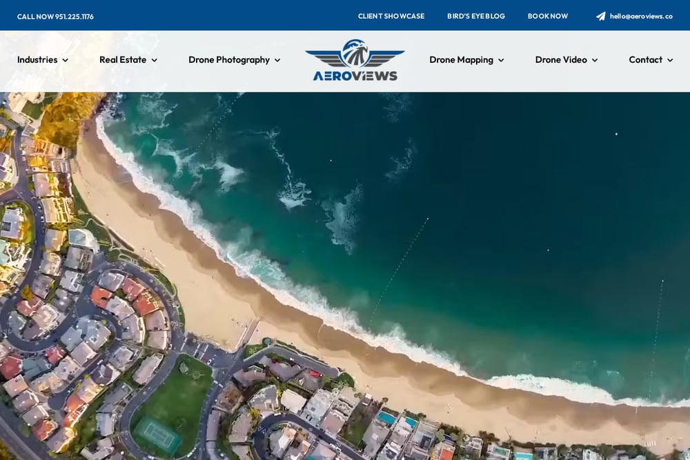 A screenshot of the AeroViews website.
AeroViews runs a wide drone services menu that stretches from real estate photography to LiDAR mapping, bathymetry, and orthomosaic production. If your project needs aerial data across several use cases, you can likely source it in one place. The company advertises FAA licensing, $2M in liability insurance, and a long list of five-star reviews, which gives you a clear read on its operating posture. Its construction and energy-utility verticals map well to site documentation and progress capture. You can review the full service lineup at AeroViews' reality capture page. The tradeoff is breadth: you will want to confirm how much engineering-grade validation comes with each deliverable.
#2 Movement Motion Technologies
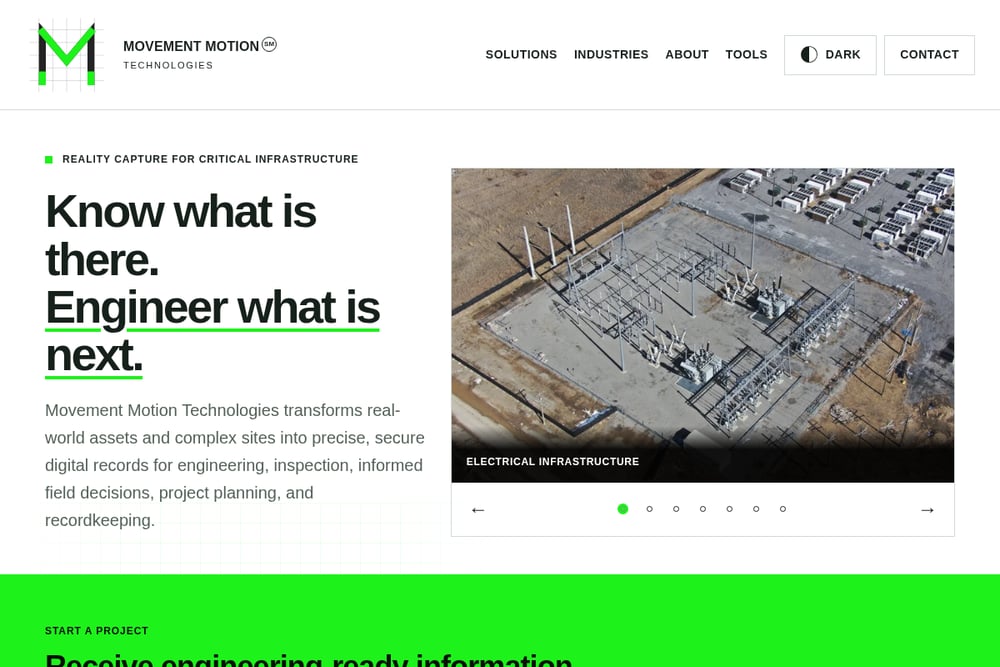 A screenshot of the Movement Motion Technologies website.
Movement Motion Technologies is built around one promise: know what is there before you engineer what is next. The Atlanta-based team captures utility assets, substations, corridors, industrial facilities, and commercial buildings using a project-specific mix of aerial imagery, ground capture, LiDAR, and thermal imaging. What stands out is the controlled path from field to decision—define, capture, validate, deliver—so you know exactly what happens to your data and when. Safety credentials are explicit: FAA Part 107 certified operations, OSHA-trained crews, and $2M in insurance, with nationwide coverage from an Atlanta base. Deliverables arrive through secure online access plus agreed data exports, reports, and source files. You can see the full workflow and solution set on the Movement Motion Technologies site.
#3 Allnorth
 A screenshot of the Allnorth website.
Allnorth brings reality capture into a much larger engineering and construction services stack. Its digital solutions group sits alongside civil, structural, mechanical, and electrical engineering, plus surveying and project delivery. That means capture data can flow directly into design and construction workflows without a handoff to a third party. The company serves infrastructure, metals and minerals, energy and renewables, and fiber and chemicals sectors, with offices across Canada and the US, including Atlanta. If your project needs digital twin development or GIS integration, this is a natural fit. Review the digital solutions overview on Allnorth's reality capture page to see how capture ties into the broader offering.
#4 Foley Specialty Services
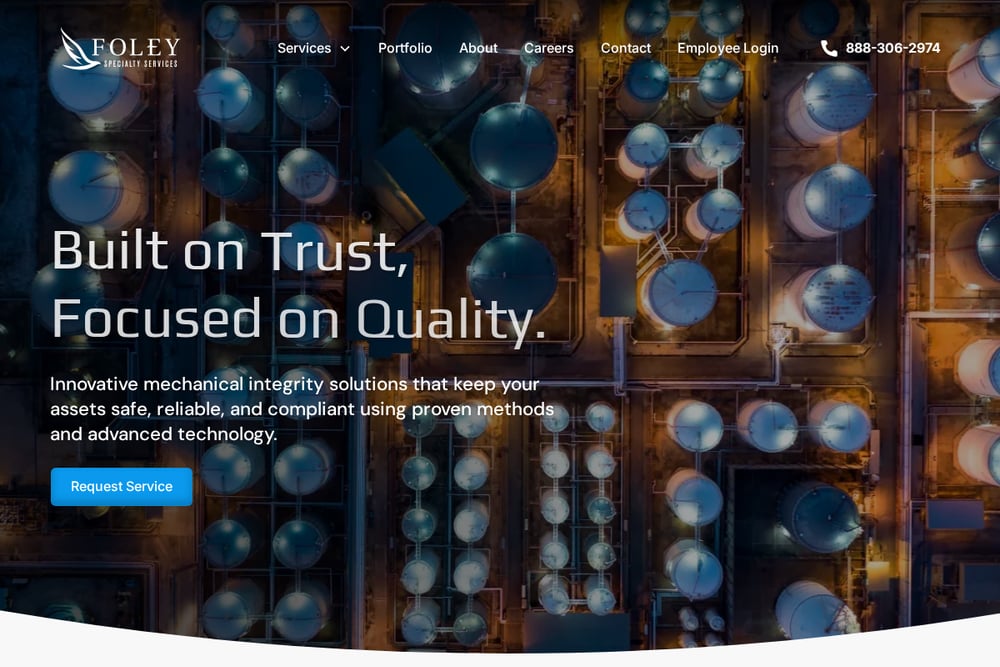 A screenshot of the Foley Specialty Services website.
Foley Specialty Services focuses on ground-based reality capture using LiDAR and imaging to build detailed 3D models from the ground up. That approach suits facilities where aerial access is limited or where asset-level detail matters more than site-wide coverage. The company pairs capture with inspections, mapping, mechanical integrity, and nondestructive examination services, so condition assessment and documentation can happen together. Its process runs from consultation through data collection, deployment, and ongoing operational support, including training your team on the digital twin. One important note: Foley states its data is not a certified survey or engineering product, and it engages licensed third parties when certification is required. Details are on Foley's ground-based reality capture page.
#5 Nederveld, Inc.
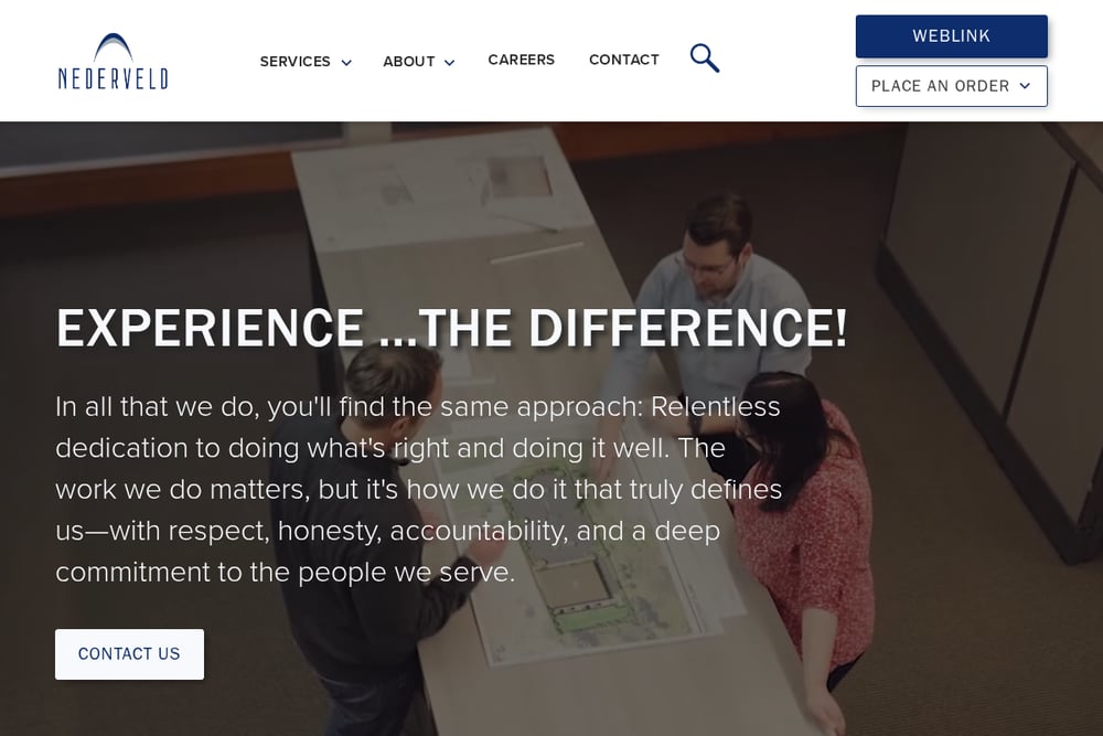 A screenshot of the Nederveld, Inc. website.
Nederveld approaches reality capture from a land planning, civil engineering, and land surveying foundation. That background shows in its deliverables: registered point clouds, as-built documentation, 2D CAD drawings, 3D BIM models, and scan-to-Revit outputs. If your pain point is discrepancies between record drawings and actual conditions, this provider is structured around closing that gap. It also offers forensic services, which helps when documentation may support an investigation or claim. The firm combines survey control with field workflows, which matters when accuracy tolerances are tight. You can explore the service overview and use cases on Nederveld's reality capture page.
How to choose the right capture partner
Start with the decision your data needs to support. If you are inspecting utility assets and need a repeatable field record for engineering review, prioritize a provider with staged validation and clear deliverable definitions. If you need design-ready BIM, look for survey control and scan-to-Revit experience. Ask about credentials early: FAA Part 107 certification, OSHA training, and insurance limits are not paperwork—they tell you how the crew operates. Confirm who owns the source files and how you will access them after the project closes. Finally, pressure-test the scope conversation. A provider that asks about accuracy expectations, site access, and required exports before quoting is a provider that understands the work.
A simple workflow for your first capture project
Define the assets and the decisions they support. Write down accuracy expectations and required deliverables before anyone flies. Request a project-specific field plan that names the capture methods—aerial, ground, LiDAR, thermal—and the validation steps. Ask for a sample deliverable so your team can test it in your actual software. Schedule delivery access early, including who on your side gets browser access and source files. After delivery, run a short review against the original scope and log gaps for the next capture cycle. Repeatable scopes get faster and cheaper each round.
The bottom line
Reality capture only pays off when the record is precise, secure, and usable by the people making decisions. The five providers here take different paths: AeroViews leans on aerial breadth, Movement Motion Technologies on a disciplined field-to-decision process for infrastructure, Allnorth on engineering integration, Foley on ground-level asset detail, and Nederveld on survey-backed design deliverables. Match the provider to the decision you need to make, verify the credentials, and insist on seeing a sample deliverable. Do that, and your next site visit becomes a data asset instead of a folder of photos.