
You need aerial mapping that actually fits your project—not just pretty pictures. These five providers bring serious photogrammetric chops to San Bernardino and beyond.
The State of Photogrammetry and Orthophotography in San Bernardino
San Bernardino's growth in infrastructure, municipal planning, and engineering design has fueled demand for precise aerial mapping. Photogrammetry and orthophotography turn overlapping aerial photos into accurate topographic and planimetric data. Local firms serve engineers, surveyors, and agencies who need reliable base maps for grading, drainage, and GIS. With decades of combined experience, these providers blend traditional methods with modern sensors like LiDAR and digital cameras. Whether you're updating a city's GIS or planning a new development, the right partner makes all the difference.
How We Evaluated These Photogrammetry Providers
We looked at service scope, credentials, local experience, and clarity of offerings. Each provider brings a distinct mix: Arrowhead Mapping stands out with an ASPRS Certified Photogrammetrist and a 30-year local legacy. Aerial Photomapping Services offers a full suite from precision photography to analytical aero-triangulation. Towill, Inc. impresses with high-volume project capacity and advanced four-band imaging. Cooper Aerial Surveys showcases a broad industry reach and modern mapping methodologies. Digital Mapping, Inc. brings a long history of innovation, including early adoption of digital camera systems. We also considered how well each communicates pricing and project fit, though specific rates often require a quote.
Here's a quick look at five providers that can turn aerial imagery into actionable data for your next project.
| Provider | Best For |
|---|---|
| Aerial Photomapping Services | Full-service photogrammetric needs |
| Photogrammetry & Orthophotography | Arrowhead Mapping | Certified expertise and local legacy |
| Towill, Inc. | High-volume, multi-scale mapping |
| Cooper Aerial Surveys | Diverse industry applications |
| Digital Mapping, Inc. | Innovative geospatial solutions |
A Closer Look at Each Provider
#1 Aerial Photomapping Services
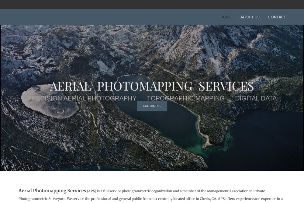 A screenshot of the Aerial Photomapping Services website.
Aerial Photomapping Services (APS) is a full-service photogrammetric organization based in Clovis, CA. They offer precision aerial photography, topographic mapping, and analytical aero-triangulation. Their digital imagery department handles orthophotos, photogrammetric scanning, and rectified photos. As a member of the Management Association in Private Photogrammetric Surveyors, they serve both professionals and the general public. Their central location makes them a convenient choice for projects across California.
#2 Photogrammetry & Orthophotography | Arrowhead Mapping
 A screenshot of the Photogrammetry & Orthophotography | Arrowhead Mapping website.
Arrowhead Mapping brings 30 years of photogrammetric mapping experience to engineers, surveyors, and agencies from San Bernardino. Led by Steve Dillon, ASPRS Certified Photogrammetrist #790, the firm delivers digital topographic and planimetric mapping, orthophotography, and aerial photography using a Wild RC30 camera. Their services extend to LiDAR, GIS/LIS mapping, and a historical aerial photo archive dating back to 1965. They also provide precision photogrammetric scanning with a Wehrli scanner and wide-format plotting. With project experience including Caltrans and Army Corps work, they understand the demands of municipal and infrastructure projects.
#3 Towill, Inc.
 A screenshot of the Towill, Inc. website.
Towill, Inc. performs over 100 aerial photogrammetric mapping projects each year, from large-scale engineering design to small-scale planning. They use high-quality aerial photography as the foundation for orthophotos and base maps. Their airborne remote sensing systems include Phase One iXU-RS1000 four-band cameras for RGB and infrared imagery. With 30 years of softcopy photogrammetry experience, they extract precise planimetric and topographic data. They also integrate LiDAR and other sensors for comprehensive mapping solutions.
#4 Cooper Aerial Surveys
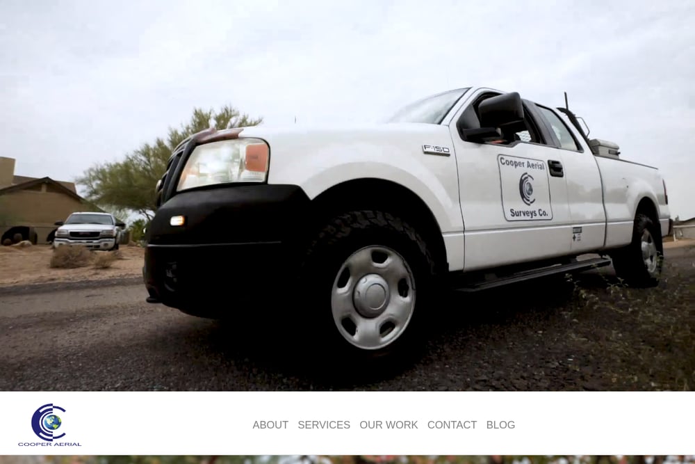 A screenshot of the Cooper Aerial Surveys website.
Cooper Aerial Surveys boasts a well-connected team of photogrammetrists, imagery specialists, GIS experts, and survey professionals. They provide photogrammetric mapping and imagery services to governmental, engineering, and development organizations across the US, Mexico, and Canada. Their work spans oil and gas, transportation, mining, renewable energy, and municipal projects. By leveraging technological advances alongside traditional methodologies, they've redefined how maps are made. Their commitment to quality is reflected in long-term client relationships.
#5 Digital Mapping, Inc.
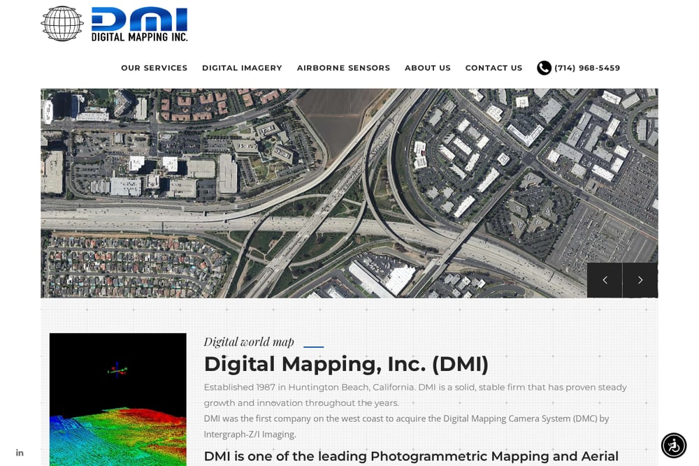 A screenshot of the Digital Mapping, Inc. website.
Digital Mapping, Inc. (DMI) was established in 1987 in Huntington Beach, California, and has over 30 years of experience in aerial photography, LiDAR, and digital photogrammetry. They were the first on the West Coast to acquire the Digital Mapping Camera System (DMC) by Intergraph-Z/I Imaging. As a certified minority women-owned small business, they offer planimetric mapping, orthophotography, LiDAR acquisition, and historical archive services. Their project portfolio includes freeway corridors and national forests. They are known for steady growth and innovation in geospatial solutions.
How to Choose the Right Photogrammetry Partner
Start by defining your project's scale and accuracy needs. Are you mapping a small site for grading, or a city-wide GIS? Check credentials—like ASPRS certification—and ask about specific experience with similar projects. Consider the technology: LiDAR, four-band imagery, or historical archives might be crucial. Don't overlook local knowledge; a firm familiar with San Bernardino's terrain and regulations can save you time. Finally, request quotes and compare what's included, from ground control to final deliverables.
Automating Your Mapping Workflow
Many providers offer digital data formats that integrate directly into CAD and GIS. Ask about automated feature extraction, DTM generation, and orthophoto production. Some firms provide online portals for data delivery and project tracking. Leveraging these tools can streamline your design process and reduce manual digitizing.
The Bottom Line
San Bernardino's photogrammetry landscape offers a range of specialists. Whether you need certified local expertise, high-volume production, or innovative geospatial solutions, these five providers have you covered. Evaluate your project's unique demands and reach out for a quote—accurate aerial mapping is closer than you think.