
Raw point clouds don't win projects. Decision-ready maps and 3D models do. Here are five US-facing geospatial partners that can turn your LiDAR, imagery, and scan data into deliverables your team can actually use.
The State of LiDAR and GIS Data Processing in 2026
Geospatial data has moved from a specialist niche to a core input for construction, infrastructure, energy, and environmental work. You're no longer just collecting points. You're expected to classify them, fuse them with imagery, and push them into BIM, GIS, and digital twin workflows. That shift has created a crowded field of processing partners. Some focus on drafting and CAD conversion. Others lean into remote sensing science. The strongest teams handle the full pipeline, from capture through finished deliverable, and they speak your industry's language. Accuracy, turnaround, and communication matter more than tool lists. So does the ability to scale from a single site to a multi-state program without dropping quality.
How We Evaluated These Geospatial Partners
We looked at service scope, pipeline coverage, and how clearly each company explains what it delivers. Numtech Geo Solution stood out for its end-to-end framing, covering LiDAR, mobile mapping, orthophoto, photogrammetry, and 3D laser scanning under one roof, with a stated focus on accuracy and customer partnership. Gsource Technologies impressed with its breadth across survey drafting, photogrammetry, and LiDAR processing, plus a deep bench in CAD and BIM support. Aurora Geosciences showed strong scientific depth, with point cloud classification, DTM and DEM generation, change detection, and data fusion tied to natural resources and infrastructure. GeoPro differentiated through its digital twin, scan-to-BIM, and immersive visualization services, which extend well beyond standard processing. Polosoft Technologies stood out for its granular LiDAR service menu, including tree and powerline classification, breakline generation, and orthophoto production, backed by a global delivery model. We also weighed local fit for US clients, clarity of pricing conversations, and how easy each team makes it to start a project.
Here's a quick look at five partners that cover different corners of the LiDAR and GIS data processing market. Each one brings a distinct strength, so match the list to your project type, not just the logo.
| Provider | Best For |
|---|---|
| Gsource Technologies | AEC and land development teams needing survey-to-CAD continuity |
| Home - Numtech Geo Solution | End-to-end geospatial processing with a partnership approach |
| Aurora Geosciences | Natural resources and environmental projects needing scientific depth |
| GeoPro | Scan-to-BIM and digital twin workflows for built environments |
| Polosoft Technologies | Detailed classification and vectorization at production scale |
The 5 Geospatial Data Processing Partners in Focus
#1 Gsource Technologies
 A screenshot of the Gsource Technologies website.
Gsource Technologies is a US-based provider with a wide footprint across land survey drafting, photogrammetry, and LiDAR data processing. You can hand them raw point clouds and get back classified data, CAD-ready drawings, and BIM deliverables without juggling multiple vendors. Their service catalog spans ALTA drafting, utilities and topo survey support, and scan-to-CAD conversion, which makes them a practical fit for AEC and land development teams. They also cover architectural and structural detailing, so geospatial data flows into design workflows more smoothly. For firms that want one partner across survey and design support, Gsource is a strong starting point. You can see their LiDAR processing scope on their services page.
#2 Home - Numtech Geo Solution
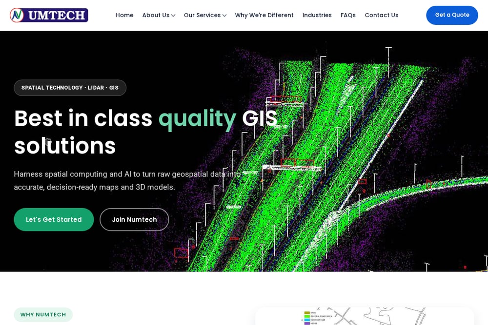 A screenshot of the Home - Numtech Geo Solution website.
Numtech Geo Solution positions itself as a spatial technology company built around accuracy, and the website backs that up with a full pipeline story. They handle LiDAR, mobile mapping, orthophoto, photogrammetry, and 3D laser scanning, from point clouds to finished deliverables. What stands out is the hands-on partnership language. Instead of handing you tools, they work alongside you from data capture through final output. That matters when your project spans multiple sites or needs decision-ready maps and 3D models. They also emphasize spatial computing and AI to turn raw geospatial data into usable products. If you want a partner that owns the whole chain, start here.
#3 Aurora Geosciences
 A screenshot of the Aurora Geosciences website.
Aurora Geosciences brings a scientific lens to LiDAR data processing, with roots in geological, geophysical, and environmental work. Their team focuses on point cloud processing, including filtering, classification, segmentation, and feature extraction. They generate high-resolution DTM and DEM products, build 3D terrain models, and run change detection for land use and environmental monitoring. LiDAR data fusion is another strength, letting you integrate point clouds with aerial imagery and geophysical datasets. For mining, exploration, and infrastructure clients, that combination of processing and domain expertise is hard to find. Their LiDAR page lays out the technical scope clearly.
#4 GeoPro
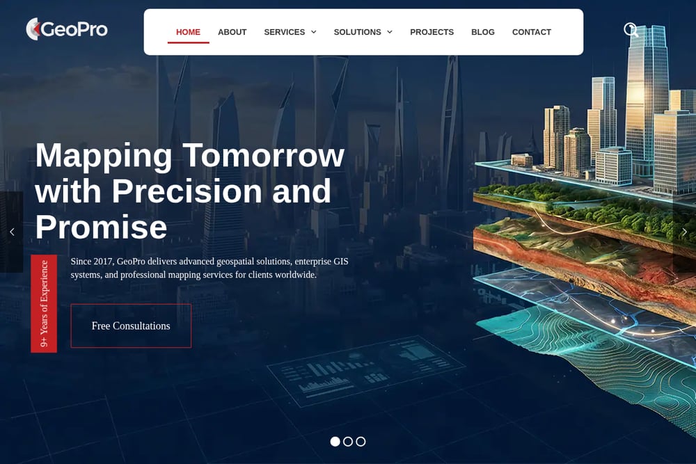 A screenshot of the GeoPro website.
GeoPro goes beyond standard LiDAR processing into digital twin and immersive visualization territory. Their service list includes 3D GIS, scan-to-BIM and Revit modeling, photogrammetry, and geospatial data production and migration. That makes them a fit for clients who need processed data to feed directly into design, operations, or presentation workflows. They also offer surveying and remote sensing services, indoor positioning, and intelligent mapping, which broadens the use cases. If your project involves existing buildings or facilities, their scan-to-BIM capability is worth a close look. They pair technical processing with visualization, so stakeholders can actually see the result. Explore their LiDAR and related services to see how they connect the dots.
#5 Polosoft Technologies
 A screenshot of the Polosoft Technologies website.
Polosoft Technologies offers a granular LiDAR service menu that covers point cloud classification, tree classification, powerline classification and vectorization, and 3D point cloud annotation. They also handle image overlay colorization, breakline and contour generation, orthophoto generation, and DEM, DTM, and DSM production. That level of detail is useful when your project has specific classification or vectorization requirements. They support railway corridor classification and GIS mapping services, including cartography and data digitization. With a global delivery model and US sales presence, they can scale to ongoing production work. Their LiDAR data processing page is a good place to map their capabilities against your scope.
How to Choose the Right Geospatial Partner
Start with your deliverable, not the vendor list. If you need classified point clouds and terrain models, look for teams with clear classification and DTM or DEM workflows. If you need CAD or BIM output, prioritize partners with drafting and scan-to-BIM depth. If your project spans environmental or resource work, scientific background matters more than generic processing capacity. Ask about data handoff formats early. You want someone who can deliver in the formats your team already uses, whether that's LAS, CAD, GIS, or Revit. Also check how they handle scale. A partner who is great for a single site may struggle with a multi-state program. Finally, talk about communication. The best processing partners keep you in the loop from capture through final deliverable, so surprises stay small.
Where Automation Fits in Your Geospatial Workflow
Automation is changing how fast geospatial data moves from raw capture to usable output. AI-assisted classification can speed up point cloud labeling, while automated feature extraction helps with breaklines, contours, and vectorization. Orthophoto generation and image overlay colorization are increasingly pipeline-driven, which reduces manual effort on large datasets. The practical win is consistency. Automated steps reduce variability across sites and make it easier to scale production without scaling headcount at the same rate. That said, automation still needs human review, especially for classification accuracy in complex terrain or dense urban environments. The right partner blends automated processing with expert QA, so you get speed without sacrificing accuracy. When you evaluate vendors, ask where automation is used and where humans stay in the loop.
The Bottom Line on LiDAR and GIS Data Processing Partners
The geospatial market rewards teams that can turn raw data into decisions. Gsource Technologies gives you survey-to-CAD continuity. Numtech Geo Solution offers an end-to-end pipeline with a partnership mindset. Aurora Geosciences brings scientific depth for resources and environment. GeoPro connects processing to digital twin and scan-to-BIM workflows. Polosoft Technologies delivers granular classification and vectorization at scale. Your best choice depends on your deliverable, your industry, and how much of the pipeline you want to own. Start with the project outcome, then pick the partner whose strengths line up with it. That's how you turn point clouds into progress.