
Looking for a drone team that actually shows up and delivers? Here are five providers worth your attention.
The Northeast Drone Services Landscape
Drone services have become essential across the Northeast, from real estate marketing to search and rescue. You need a provider who understands FAA regulations, local terrain, and fast turnaround. Whether you're a realtor, contractor, or emergency responder, the right drone partner can save you time and money. The region's dense airspace and varied weather demand experienced pilots. That's why we've rounded up five standout companies serving the Northeast and beyond.
How We Evaluated These Drone Providers
We looked at service breadth, response speed, industry certifications, and real-world proof. Each company brings something unique. A Different Altitude emphasizes rapid response and diverse missions, from real estate to search and rescue. FlyGuys offers a national network with deep real estate focus. NADAR Drone provides nationwide coverage with high safety standards. AeroViews combines mapping and inspection with strong local reputation. Aerial Innovations Southeast delivers specialized aerial photography for development. We considered pricing transparency, customer reviews, and geographic reach. No single provider is perfect for everyone, but each excels in specific areas.
Here's a quick look at the five providers, ranked for your convenience.
| Provider | Best For |
|---|---|
| FlyGuys | National real estate and construction projects |
| A Different Altitude — Drone Services in the Northeast US | Northeast-based missions requiring quick response |
| NADAR Drone | Nationwide inspections and mapping with high insurance |
| AeroViews | High-quality mapping and real estate visuals |
| Aerial Innovations Southeast | Southeast real estate development photography |
A Closer Look at Each Provider
#1 FlyGuys
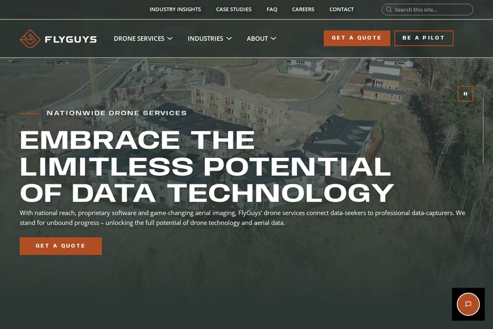 A screenshot of the FlyGuys website.
FlyGuys operates as a national drone services network, connecting clients with certified pilots across the country. They specialize in real estate marketing, construction monitoring, and aerial surveying. Their platform emphasizes efficiency and scalability, making them a strong choice for multi-site projects. According to their website, they focus on reality data capture to help professionals make informed decisions. You can learn more about their real estate offerings on their site. Their broad reach means you can get consistent service whether you're in the Northeast or elsewhere.
#2 A Different Altitude — Drone Services in the Northeast US
 A screenshot of the A Different Altitude — Drone Services in the Northeast US website.
A Different Altitude is a Northeast-focused drone service provider with FAA-certified pilots. They cover real estate photography, search and rescue, wildlife tracking, surveying, and construction mapping. Their portfolio includes real-world missions like finding a lost dog within the hour and recovering a deer in under 20 minutes. They pride themselves on fast response times and local expertise. As they state on their site, they see what others can't. For Northeast clients needing a versatile, responsive team, they are a top contender.
#3 NADAR Drone
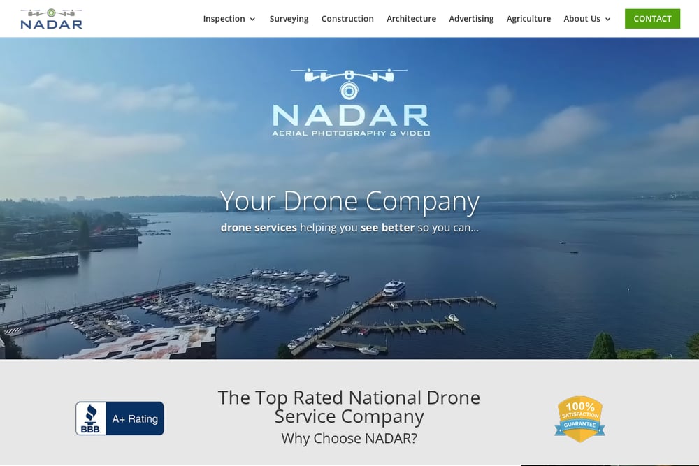 A screenshot of the NADAR Drone website.
NADAR Drone is a national provider offering inspection, surveying, and mapping services. They emphasize safety and customer service, with FAA Part 107 certification and up to $10 million in insurance. Their website highlights a single point of contact for projects nationwide. They serve industries like construction, energy, and agriculture. If you need a reliable partner for complex inspections or volumetric analysis, NADAR is worth considering. Their focus on safety and responsiveness sets them apart.
#4 AeroViews
 A screenshot of the AeroViews website.
AeroViews provides drone photography, mapping, and LiDAR services, with a strong presence in California but serving various industries. They offer real estate photography, construction progress, and solar inspections. Their team is FAA licensed and carries $2 million in liability insurance. With over 117 five-star reviews, they have a flawless reputation. They also promise competitive pricing and will meet or beat competitor quotes. For clients needing detailed mapping or high-quality visuals, AeroViews is a solid option.
#5 Aerial Innovations Southeast
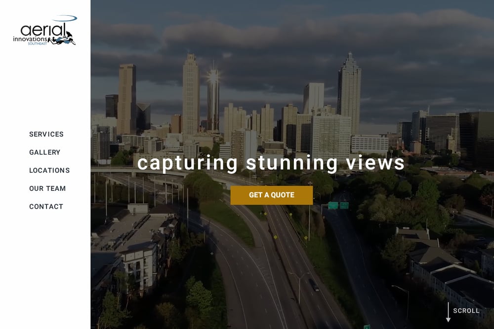 A screenshot of the Aerial Innovations Southeast website.
Aerial Innovations Southeast specializes in aerial photography and video for real estate development. They serve Atlanta and Nashville, helping land developers evaluate terrain and track construction progress. Their services include drone surveys, high-altitude photos, and video editing. They understand the needs of contractors and investors, providing detailed aerial images that aid decision-making. While their focus is the Southeast, their expertise in real estate development is noteworthy. If you're in that region, they are a valuable resource.
How to Choose the Right Drone Service
Start by defining your project needs. Are you selling a property, inspecting a roof, or searching for a missing person? Different providers excel in different areas. Check certifications and insurance to ensure compliance and safety. Ask about response times and local knowledge, especially in the Northeast where weather and airspace can be tricky. Look for a portfolio that matches your use case. Finally, get quotes from multiple providers to compare pricing and scope. A quick call can save you hours of research.
Streamlining Your Drone Workflow
Many drone providers now offer automated data processing and cloud-based deliverables. You can receive orthomosaics, 3D models, and progress reports without manual effort. Some platforms integrate with project management tools, making it easy to share visuals with stakeholders. When evaluating providers, ask about their post-processing and delivery methods. Automation can reduce turnaround time and improve accuracy, especially for recurring missions like construction monitoring.
The Bottom Line
The Northeast has no shortage of skilled drone operators, but the right fit depends on your specific needs. A Different Altitude stands out for its local focus and rapid response, while FlyGuys offers national scale. NADAR Drone brings safety and insurance, AeroViews delivers mapping expertise, and Aerial Innovations Southeast serves developers in the Southeast. Consider your project scope, location, and budget to make the best choice. With any of these providers, you'll gain a valuable aerial perspective.