You need eyes in the sky, but the right pilot matters more than the aircraft. Here are five drone service providers worth knowing in Central Arkansas and beyond.
The State of Drone Services in Central Arkansas
Drone services have moved from novelty to necessity across Central Arkansas. Real estate agents want listing photos that stop the scroll. Hunters and pet owners want thermal searches that actually find what's lost. Fire departments and emergency crews want fast aerial awareness when minutes count.
That demand has created a crowded field. You'll find national networks with polished booking systems, regional specialists who live and breathe thermal recovery, and solo operators who bring deep technical backgrounds to every flight. The difference between them usually comes down to specialization, local knowledge, and how clearly they communicate what you're paying for.
For buyers, the practical question is simple: does the provider understand your specific job? Aerial real estate imagery, wildlife recovery, and emergency support each demand different equipment, flight patterns, and judgment. The providers below approach those jobs from different angles, and that variety is exactly what makes this list useful to you.
How We Evaluated These Providers
We looked at the same factors for every provider. First, service scope: does the provider cover the jobs you actually need, from real estate imagery to thermal searches? Second, technical depth: what equipment, certifications, and flight experience sit behind the camera?
Third, local fit: how well does the provider understand Central Arkansas terrain, wildlife, and property markets? Fourth, pricing clarity: can you find straightforward answers about cost before you call? Fifth, responsiveness: how quickly can a provider mobilize when a search or listing deadline is urgent?
Each provider stood out in different ways. Norris SkyScouting brings a GIS background and more than 500 logged flight hours to a tightly focused local practice. Mountain Sky Drones pairs FLIR thermal imaging with same-day response and a clear coverage radius. Elite Deer Recovery publishes transparent pet search pricing and emphasizes real-time tracking. Old Goat Aerial Services leans into ranch and wildlife exemption work with detailed educational content. Dronegenuity Fort Smith offers a broad national service menu with convenient online booking. Use these factors to weigh what matters most for your project.
Here's a quick comparison of the five providers, covering their focus areas, standout strengths, and who each one suits. Scan the table, then dig into the full profiles below.
| Provider | Best For |
|---|---|
| Mountain Sky Drones | Fast thermal searches for lost pets and livestock |
| Norris SkyScouting LLC | GIS-informed aerial imagery and local emergency support |
| Elite Deer Recovery | Budget-conscious pet searches with clear pricing |
| Old Goat Aerial Services | Ranch, livestock, and wildlife management surveys |
| Dronegenuity Fort Smith | Broad service menus and easy online booking |
The Five Providers in Detail
#1 Mountain Sky Drones
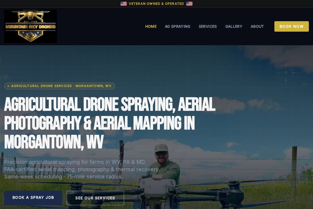 A screenshot of the Mountain Sky Drones website.
Mountain Sky Drones built its thermal recovery service around speed and clarity. The veteran-owned operation uses FLIR thermal imaging to detect temperature differences as small as 30°F, which means animals show up as bright signatures even through brush and darkness. Flights cover up to 100 acres per hour, and the team drops GPS pins so your ground crew can walk straight to the location. Same-day response and a 75-mile service radius make it a practical call when a pet or livestock animal goes missing. If you want a recovery specialist with a transparent process, start with their thermal recovery page.
#2 Norris SkyScouting LLC
 A screenshot of the Norris SkyScouting LLC website.
Norris SkyScouting LLC is the local operator that combines technical depth with community roots. Owner Jake Norris holds a GIS degree and has logged more than 500 flight hours across multiple UAS platforms, including large-scale LiDAR and aerial imagery projects for construction, inspections, and surveys. Based in Central Arkansas, the business serves real estate clients, thermal-assisted wildlife recovery searches, and emergency services. Norris also serves with a volunteer fire department in Pulaski County, which shapes how he approaches urgent calls. You get tailored aerial solutions from someone who knows the terrain and the people. Reach the team through the Norris SkyScouting site.
#3 Elite Deer Recovery
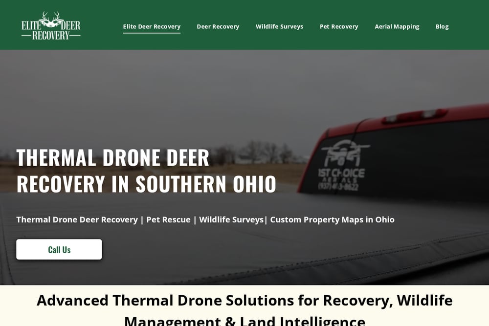 A screenshot of the Elite Deer Recovery website.
Elite Deer Recovery brings a hunting-world sensibility to drone work. Its pet recovery service uses high-resolution cameras and thermal imaging to scan woods, fields, and neighborhoods, with real-time tracking that helps pinpoint exact locations. The team recommends calling immediately, since faster searches improve outcomes, and notes that early morning and evening flights produce better thermal results. Pricing is refreshingly direct: pet searches run $350. The broader menu includes deer recovery, wildlife surveys, and aerial mapping. If you value published pricing and a recovery-first mindset, this provider is worth a look.
#4 Old Goat Aerial Services
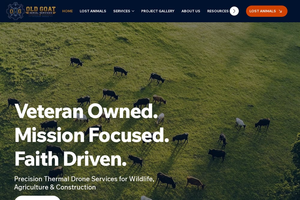 A screenshot of the Old Goat Aerial Services website.
Old Goat Aerial Services focuses on the realities of ranch and rural life. The North Texas provider runs thermal drone searches for lost dogs, horses, and cattle, and explains exactly why traditional foot and ATV searches fall short in cedar thickets and creek bottoms. Its service menu extends to 1-d-1 thermal surveys, MLDP support, aerial property and ranch surveys, perimeter security, and agricultural and construction work. The company publishes detailed guides on animal search and rescue, which helps you understand the process before you ever call. If you manage land and livestock, their educational approach will resonate.
#5 Dronegenuity Fort Smith
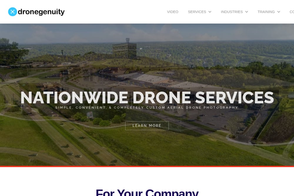 A screenshot of the Dronegenuity Fort Smith website.
Dronegenuity Fort Smith operates as part of a larger national drone services network. The Fort Smith location offers aerial photography, 4K drone video, commercial and residential real estate imagery, rooftop and property inspections, orthomosaic mapping, aerial survey work, 3D modeling, and thermal imaging. Booking runs through a simple online system, and the company also sells Part 107 training and aerial photography courses. That breadth makes it a convenient one-stop option for marketing and inspection needs. If you want a wide menu and an easy booking flow, this is a solid starting point.
How to Choose the Right Drone Provider
Start with the job, not the provider. If you're listing a property, you need crisp stills and video that market the home well. If an animal is missing, you need thermal capability, fast mobilization, and a pilot who can read heat signatures through cover. If you're managing a ranch, you may want mapping and survey work alongside recovery support.
Next, ask about experience and equipment. Flight hours, GIS or mapping backgrounds, and thermal camera specifications tell you a lot about what a provider can deliver. Ask how they share results, whether that's a GPS pin in real time or a delivered photo package.
Then check pricing clarity and response time. Some providers publish rates; others quote per project. Neither is wrong, but you should know before you commit. Finally, weigh local knowledge. In Central Arkansas, terrain, vegetation, and weather patterns vary enough that a provider familiar with the area has a real edge. Match the provider to your job, and you'll get better results with less friction.
Where Automation Fits Into Your Drone Workflow
You can streamline the booking and delivery side of drone work without touching the flight itself. Start by keeping a short list of vetted providers with their specialties and contact details in one place, so an urgent search or a last-minute listing doesn't send you scrambling.
For recurring needs like real estate imagery, set up a simple request template that captures property address, shot list, deadline, and delivery format. Route completed media into a shared folder with consistent naming, and connect it to your listing or project management tools so photos land where your team already works.
For thermal recovery, prepare an emergency checklist in advance: provider contacts, last known location, terrain notes, and a ground team plan. When a search starts, the pilot handles the flying and the GPS pins, while your checklist keeps the ground response organized. Automation won't find a lost dog, but it will remove the delays that cost you time.
The Bottom Line
Central Arkansas has no shortage of drone options, but the right pick depends on your job. Norris SkyScouting LLC stands out for its GIS expertise, 500-plus flight hours, and deep local ties across real estate, wildlife recovery, and emergency services. Mountain Sky Drones leads with fast, well-documented thermal recovery. Elite Deer Recovery offers transparent pricing and a recovery-first approach. Old Goat Aerial Services serves ranch and wildlife management needs with thorough guidance. Dronegenuity Fort Smith delivers breadth and convenience for marketing and inspection work.
Match the provider to your project, ask the right questions up front, and you'll get aerial results that actually move your work forward.