
You need accurate stockpile volumes and progress documentation without the survey crew backlog. These five drone mapping services can get you there.
Why Drone Mapping Is Reshaping Construction Documentation
Construction sites change daily. Traditional survey methods can take weeks to deliver results, leaving you with outdated data. Drone mapping flips that timeline. A single flight captures millions of data points, turning them into orthomosaics, volume reports, and 3D models in hours. For contractors, developers, and engineers, this means faster pay applications, fewer disputes, and better decisions. The technology is now accessible, but the quality of the output depends on who flies the mission and how they process the data. That is why choosing the right provider matters.
How We Evaluated These Drone Mapping Providers
We looked at service scope, pricing clarity, local expertise, and deliverable quality. Lemus Infrastructure stands out for its civil engineering background and Chicago-area focus, with a transparent resolution guide. FlyGuys offers a broad national network and detailed volumetrics page. Acecore Technologies provides a clear explanation of stockpile measurement workflows. Anvil Labs combines photogrammetry with a cloud platform and sample projects. Propeller Aero delivers a comprehensive platform with hardware integrations and industry-specific workflows. Each brings something different to the table, so you can match your project needs to the right fit.
Here is a quick look at the five providers, ranked for your convenience. Remember, the right choice depends on your specific jobsite and deliverables.
| Provider | Best For |
|---|---|
| FlyGuys | National coverage and scalable volumetrics |
| Lemus Infrastructure | Chicago-area construction sites needing engineer-led mapping |
| Acecore Technologies | Educational resources and stockpile measurement expertise |
| Anvil Labs | Cloud-based processing and accuracy-focused workflows |
| Propeller Aero | End-to-end platform with hardware integrations |
A Closer Look at Each Provider
#1 FlyGuys
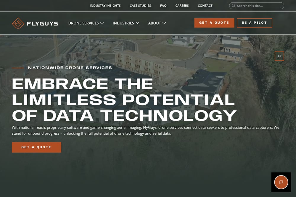 A screenshot of the FlyGuys website.
FlyGuys operates a national network of drone pilots, making it a strong option if you have sites in multiple states. Their volumetrics service page explains how drones replace traditional survey teams, cutting weeks down to hours. You get real-time volumetric calculations and accurate stockpile measurements without the subjectivity of manual methods. The company emphasizes safety, cost savings, and speed, which appeals to large-scale operations. If you need a provider with broad coverage and a proven process, FlyGuys is worth a look. Their focus on reality data capture means you get actionable insights, not just pretty pictures.
#2 Lemus Infrastructure
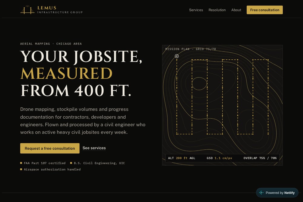 A screenshot of the Lemus Infrastructure website.
Lemus Infrastructure is a Chicago-area drone mapping service led by a civil engineer who works on active heavy civil jobsites weekly. That field experience translates into flight plans and deliverables tailored to construction realities. You get orthomosaics, stockpile volume reports, progress documentation, and pre-construction records, all processed by someone who understands earthwork. Their resolution guide helps you choose the right ground sample distance for each deliverable, from progress updates to aggregate piles. FAA Part 107 certification and airspace authorization handling mean you do not worry about compliance. For contractors, developers, and engineers in the Chicago area, this local expertise is hard to beat.
#3 Acecore Technologies
Acecore Technologies breaks down drone stockpile measurement in clear terms, explaining how photogrammetry and LiDAR turn aerial data into precise volume calculations. Their page covers the workflow, accuracy factors, and what to look for in a platform. This educational approach helps you understand the technology before you buy. They serve mining, construction, and industrial facilities, so they know the challenges of bulk material inventory. If you want a provider that also educates you on best practices, Acecore is a solid choice. Their focus on accuracy and safety aligns with the needs of demanding jobsites.
#4 Anvil Labs
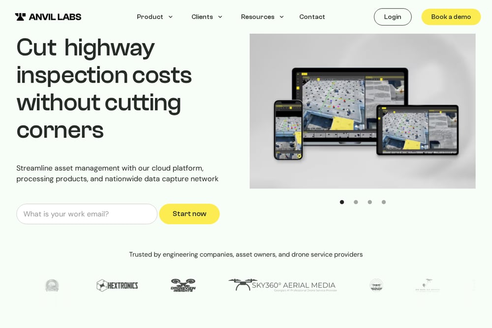 A screenshot of the Anvil Labs website.
Anvil Labs combines drone photogrammetry with a cloud platform for processing and collaboration. Their blog post on stockpile volumes cites accuracy improvements from 5-15% error with manual methods to 1-3% with drones. You can survey 10-15 stockpiles in 20-40 minutes, compared to a full day manually. The platform includes tools like a GSD calculator and sample projects, making it easy to see what you get. They work with engineers and drone service businesses, so they understand both sides of the workflow. If you want a tech-forward partner with transparent performance data, Anvil Labs is worth considering.
#5 Propeller Aero
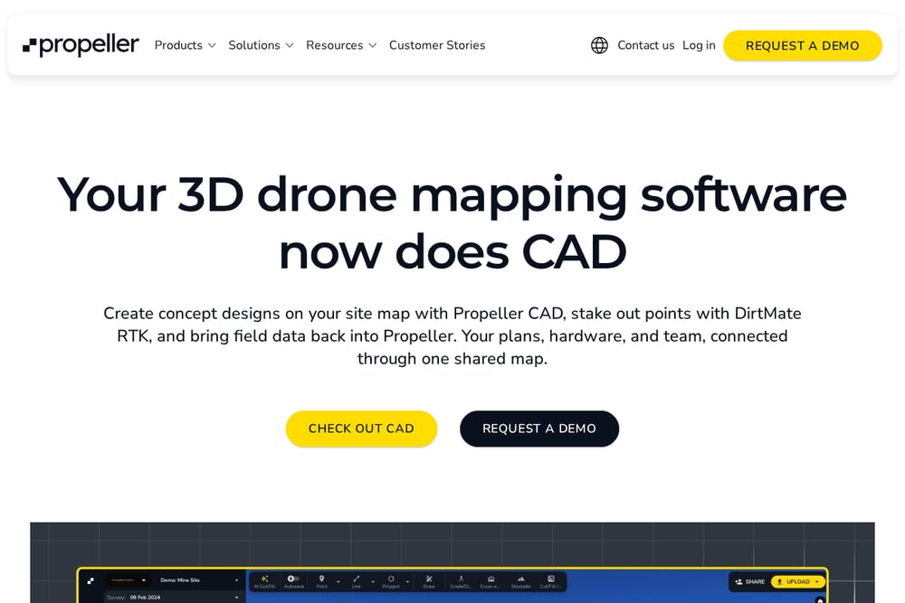 A screenshot of the Propeller Aero website.
Propeller Aero offers a comprehensive platform that connects field and office teams, with tools for volumes, progress tracking, and inventory management. Their ecosystem includes AeroPoints for ground control and DirtMate for machine guidance, creating a seamless data flow. They serve construction, mining, aggregates, and waste management, so they understand the unique needs of each industry. The platform integrates with existing tools, reducing friction in your workflow. If you need an end-to-end solution that scales across projects, Propeller Aero delivers. Their focus on survey-grade accuracy and team collaboration makes them a strong contender.
How to Choose the Right Drone Mapping Partner
Start by defining your deliverables. Do you need stockpile volumes, progress documentation, or both? Next, consider your location. If you are in the Chicago area, a local provider like Lemus Infrastructure can be on-site quickly and understands local airspace. For multi-state operations, a national network like FlyGuys may be more efficient. Look for clear pricing and resolution guides. Ask about processing turnaround and file formats. Finally, check credentials. FAA Part 107 certification is a must, but a civil engineering background can add valuable context to your data. Match the provider's strengths to your project's demands.
Automating Your Drone Data Workflow
You can streamline your drone mapping process by scheduling regular flights and automating data uploads to a cloud platform. For example, Propeller Aero's platform integrates with drone hardware and processing tools, so you can go from flight to volume report in hours. Anvil Labs offers a processing marketplace and automated inspections, reducing manual steps. Lemus Infrastructure provides scheduled flights and dated reports, ideal for progress documentation. By setting up a recurring workflow, you ensure consistent data for pay applications and owner updates. Automation also reduces errors and frees your team to focus on building.
The Bottom Line on Drone Mapping in Chicago
Drone mapping is no longer a luxury; it is a competitive advantage. The five providers here each bring something unique. FlyGuys offers national scale, Lemus Infrastructure delivers local engineering expertise, Acecore Technologies educates and measures, Anvil Labs combines cloud processing with accuracy, and Propeller Aero provides an integrated platform. For Chicago-area contractors, developers, and engineers, Lemus Infrastructure stands out for its hands-on civil engineering background and tailored deliverables. But the best choice depends on your specific needs. Evaluate your projects, then reach out for a consultation. Your jobsite data will thank you.