
Miami's construction and property boom has made aerial data a must-have, not a nice-to-have. Here are five drone service providers worth knowing if you need mapping, photogrammetry, or inspection work in South Florida.
Why Drone Mapping and Inspection Is Booming in Miami
Miami's skyline is growing fast, and so is the need for accurate aerial data. From high-rise condos to sprawling industrial sites, you need measurements, progress documentation, and inspection evidence without putting people at risk. Drone mapping and photogrammetry give you that. FAA Part 107 certification is now standard for commercial work, and clients expect deliverables that drop straight into project software. In South Florida, salt air, hurricane season, and dense airspace add complexity. That's why local expertise matters. The providers below all operate in Miami-Dade and Broward, and each brings a different strength to the table.
How We Evaluated These Miami Drone Providers
We looked at service scope, local airspace knowledge, deliverable quality, and how clearly each provider explains its process. AeroEvidence stands out for its bilingual briefings and focus on pre-flight measurement planning. THE FUTURE 3D brings a national footprint with integrated 3D scanning and digital twin capabilities. Drone Permission emphasizes fast site capture and construction milestone documentation. Bello & Bello pairs drone data with traditional land surveying and GNSS control. AERIALLY.AI uses AI defect detection and thermal imaging for building inspections. Each has a distinct edge depending on your project type.
Here's a quick look at the five providers, ranked for this roundup based on the criteria above.
| Provider | Best For |
|---|---|
| THE FUTURE 3D | Integrated 3D scanning and BIM workflows |
| Drone Mapping, Photogrammetry & Inspection in Miami | AeroEvidence | Bilingual, project-specific drone data in South Florida |
| Drone Permission | Construction progress and milestone documentation |
| Bello & Bello | Survey-grade mapping with GNSS control |
| AERIALLY.AI | AI-driven facade and roof inspections |
The 5 Providers in Detail
#1 THE FUTURE 3D
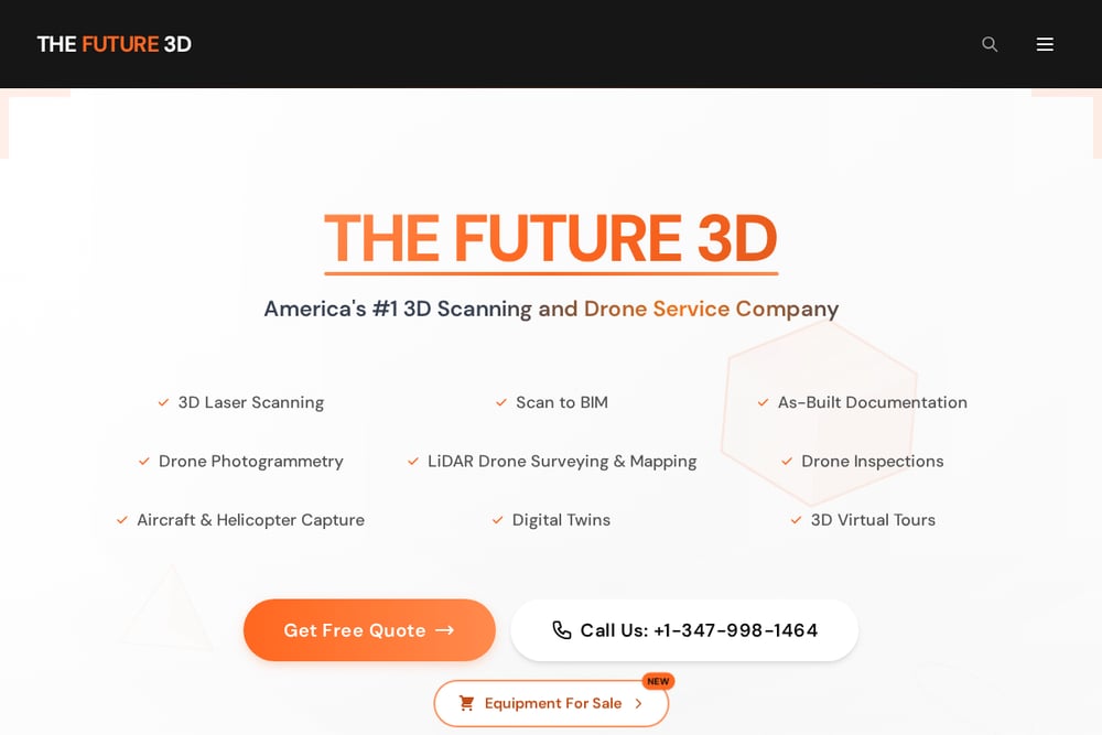 A screenshot of the THE FUTURE 3D website.
THE FUTURE 3D offers drone photogrammetry as part of a broader suite that includes 3D laser scanning, scan-to-BIM, and digital twins. If your project needs millimeter-accurate point clouds and BIM-ready data, this is a strong fit. They serve multiple industries, from construction and architecture to manufacturing and healthcare. Their national footprint means you get consistent processes, but they also list Miami as a dedicated service area. For complex as-built documentation, their integrated approach can save you from coordinating multiple vendors.
#2 Drone Mapping, Photogrammetry & Inspection in Miami | AeroEvidence
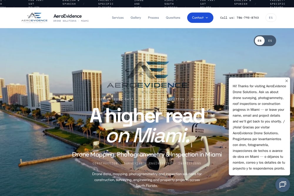 A screenshot of the Drone Mapping, Photogrammetry & Inspection in Miami | AeroEvidence website.
AeroEvidence is a Miami-based drone company focused on mapping, photogrammetry, and inspection for construction, surveying, and engineering. They plan every flight around Miami's airspace and deliver georeferenced findings reports. Their team briefs in English and Spanish, which is a real advantage on South Florida jobsites. They specialize in height measurements, volumetrics, and construction progress captures. If you need precise data without sending crews up high, they're worth a call.
#3 Drone Permission
 A screenshot of the Drone Permission website.
Drone Permission focuses on construction site monitoring and milestone documentation. They capture roofs, facades, and deck edges without putting anyone at height. Their FAA Part 107 pilots are licensed and insured, and they're LAANC ready for controlled airspace. They deliver photos, video, orthomosaic maps, and 3D models. If you need fast, safe visual records for progress reports, they're a solid choice.
#4 Bello & Bello
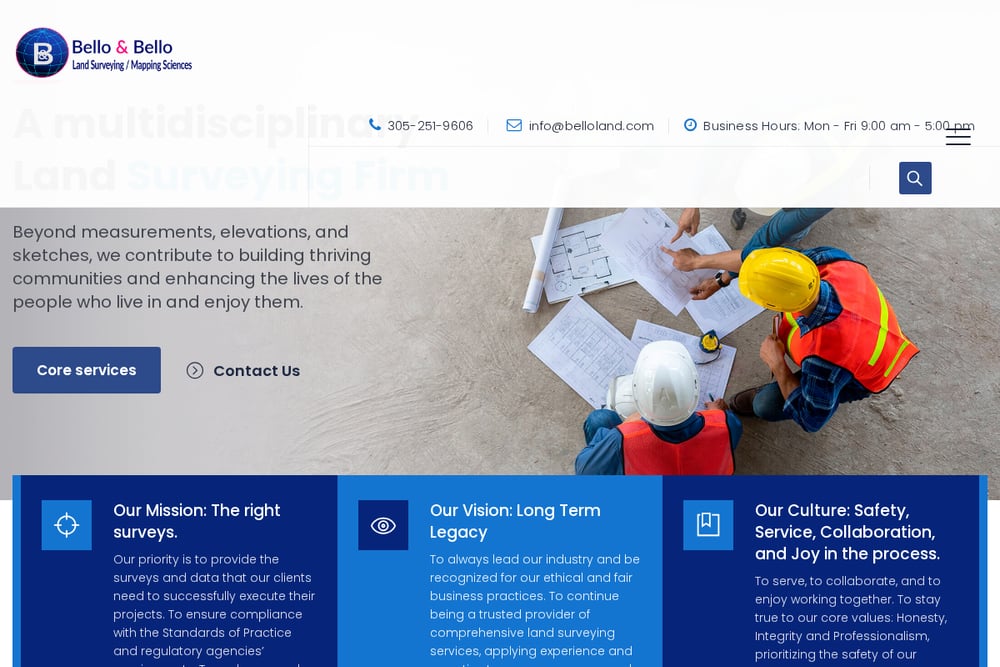 A screenshot of the Bello & Bello website.
Bello & Bello is a land surveying firm that integrates drone UAS and LiDAR with traditional GNSS control. They produce high-accuracy orthoimages and 3D models for real estate, environmental analysis, and utility corridors. Their team includes FAA-certified remote pilots and photogrammetrists. If your project requires survey-grade topographic data, their combined approach can be very effective. They also monitor flooding and hurricane damage, which is relevant in Miami.
#5 AERIALLY.AI
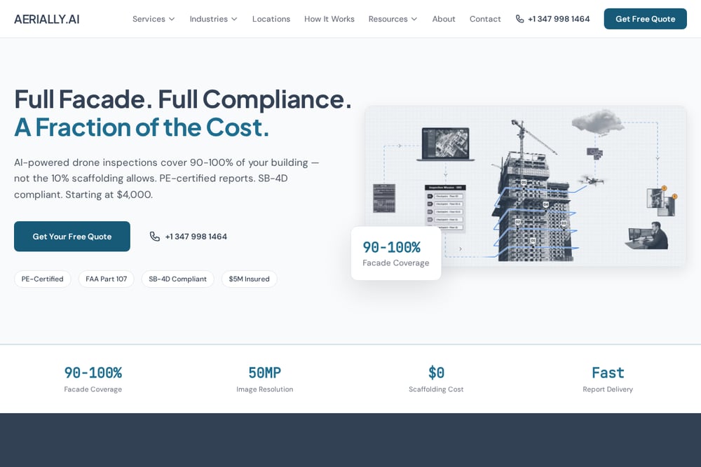 A screenshot of the AERIALLY.AI website.
AERIALLY.AI specializes in AI-powered building inspections, including facade, roof, and thermal imaging. They serve real estate, insurance, and property management clients. Their AI defect detection can flag issues automatically, which speeds up reporting. They understand Miami's SB-4D milestone inspection requirements for buildings over 25 years old. If you manage older properties, their inspection reports can help you stay compliant.
How to Choose the Right Drone Provider for Your Miami Project
Start with your deliverable. Do you need a 3D model, a volumetrics report, or a simple visual inspection? That answer narrows the field fast. Next, check local airspace experience. Miami sits under Class B airspace, so your pilot must be comfortable with LAANC and FAA coordination. Ask about control points and accuracy. If you need survey-grade data, you want a provider who uses ground control and GNSS. Language matters too. On a busy South Florida jobsite, bilingual briefings reduce miscommunication. Finally, look for clear pricing and timelines. A provider who explains their process upfront is easier to work with.
Automating Your Drone Data Workflow
You can streamline your drone data pipeline by integrating deliverables into your existing project management tools. For example, orthomosaic maps and 3D models can be imported into BIM software like Revit or AutoCAD. Volumetrics reports can feed directly into estimating systems. If you work with AeroEvidence, they deliver values ready for your project software. For recurring progress captures, set a fixed flight schedule and use the same viewpoints each time. That makes change detection easier. Automation isn't about replacing the pilot; it's about making the data work harder for you.
The Bottom Line on Miami Drone Services
Miami's drone service market is maturing, and that's good news for you. Whether you need survey-grade mapping, construction progress documentation, or AI-powered inspections, there's a provider on this list that fits. AeroEvidence offers a strong local focus with bilingual support and precise measurement planning. THE FUTURE 3D brings deep 3D scanning expertise. Drone Permission excels at fast site capture. Bello & Bello delivers traditional surveying rigor. AERIALLY.AI adds an AI layer for building inspections. Match your project needs to their strengths, and you'll get the aerial data you need without the guesswork.