Drone footage is easy to get. Drone data you can actually build on is not. These five operators show what separates a hobbyist with a controller from a vendor who documents every flight.
The State of Aerial Inspection and Mapping
Aerial imaging has split into two very different businesses. On one side sits marketing work: cinematic video for listings, brand films, and developments. On the other sits technical work: facade inspections, roof surveys, orthomosaics, and 3D models that engineers and property managers rely on. Most operators pick one lane. The ones that matter to you are the ones that can prove process, carry real insurance, and hand over files on a schedule. In dense markets like New Jersey and New York City, airspace rules add another layer. NYPD UAS permits, FAA Part 107 compliance, and controlled airspace near major airports all shape what a flight window looks like. A vendor who plans for that before the props spin saves you weeks. Pricing models vary widely too, from day rates to per-shot quotes to fixed project fees. Knowing which model fits your job is half the decision.
How We Evaluated These Operators
We looked at the same factors for every operator. Service scope: can they handle both marketing video and technical inspection imagery, or only one? Pricing clarity: is the quote fixed, or does it move after the flight? Local fit: do they understand the airspace, permits, and logistics of the region they serve? Deliverables: do you get graded video, RAW stills, orthomosaics, and 3D models, or just a folder of clips? Documentation and insurance: is there a written pre-flight checklist, a COI on request, and a clear delivery timeline? Northlight Aerial stands out for combining both service lines under one insurance certificate with a fixed quote and 48-hour delivery. DronEye Imaging covers a broad inspection menu across the Midwest. AeroViews brings LiDAR, bathymetry, and photogrammetry depth with a strong review record. AUAV leans on survey-grade accuracy and centimeter-level GSD for large-scale mapping. FlyGuys operates as a national network built around LiDAR data collection for licensed surveyors.
Here is the quick comparison. Each operator below serves a different primary need, so match the vendor to the job rather than the other way around.
| Provider | Best For |
|---|---|
| DronEye Imaging | Midwest portfolios needing a wide inspection menu |
| NLA · Northlight Aerial | Developers and property managers who want one vendor for video and inspection |
| AeroViews | LiDAR, bathymetry, and photogrammetry-heavy projects |
| AUAV | Survey-grade mapping for infrastructure and utility assets |
| FlyGuys | Surveyors needing national LiDAR data collection capacity |
The Five Operators in Detail
#1 DronEye Imaging
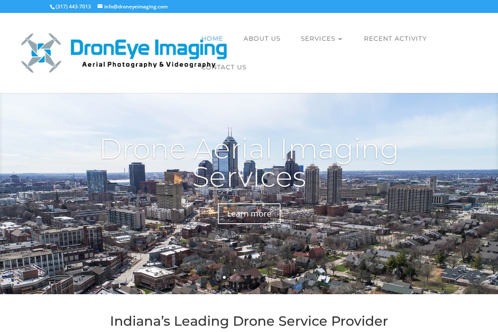 A screenshot of the DronEye Imaging website.
DronEye Imaging runs one of the broadest inspection menus you will find from a single shop. Construction progress, roof and structure inspections, crane and smoke stack work, wind farm and solar panel surveys, and bridge inspections all sit under one roof. They also handle 3D modeling and mapping plus real estate photo and video, which makes them a practical fit if your project spans marketing and technical needs. Based in Indianapolis, they serve the Midwest rather than the Northeast. If your portfolio includes Indiana or nearby states, their service list is worth a close read. They are fully licensed and insured and run educational seminars on top of client work.
#2 NLA · Northlight Aerial
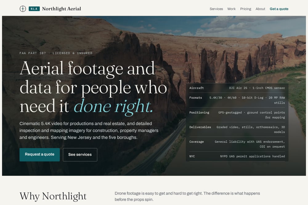 A screenshot of the NLA · Northlight Aerial website.
Northlight Aerial is the rare single-operator shop that treats marketing video and inspection imagery as one business. You get cinematic 5.4K and 4K/60 aerials with 10-bit D-Log that grades cleanly against your ground cameras, plus GPS-geotagged stills, orthomosaics, and 3D models for construction and property work. The founder runs infrastructure for a Fortune 100 company on weekdays, and that documentation habit shows up as airspace checks, shot lists, flight grids, and written pre-flight checklists on every job. Pricing is fixed, files land within 48 hours of the flight, and weather cancellations reschedule at no charge. They carry general liability with a UAS endorsement, provide a COI on request, and handle NYPD UAS permit applications for NYC work. Coverage spans New Jersey and the five boroughs, which you can confirm on their services page.
#3 AeroViews
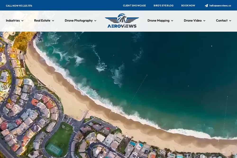 A screenshot of the AeroViews website.
AeroViews goes deep on data capture. LiDAR mapping, bathymetry, photogrammetry, orthomosaic mapping, and reality capture all appear on their mapping services page, alongside construction progress video and real estate aerials. They advertise FAA licensing, $2M in liability insurance, and a track record of over 117 five-star reviews. The combination of technical mapping depth and a polished client-facing reputation is unusual. If your project needs terrain models, volumetrics, or machine control data, their toolkit covers it. They also state they will meet or beat competitor pricing, which is worth testing on a scoped quote.
#4 AUAV
 A screenshot of the AUAV website.
AUAV positions itself around survey-grade accuracy. Their aerial survey and mapping practice delivers topographic maps and 3D terrain models at 1 to 3 centimeters per pixel GSD, with skilled surveyors behind the data. They also run aerial LiDAR, terrestrial laser scanning, thermal surveys for solar farms, crack mapping for dams, and distribution pole inspections. This is enterprise-scale work for asset owners and engineering firms, not a quick listing video. The trade-off is that you are buying into a larger organization with a broader service catalog. For infrastructure and utility mapping at scale, that depth is the point.
#5 FlyGuys
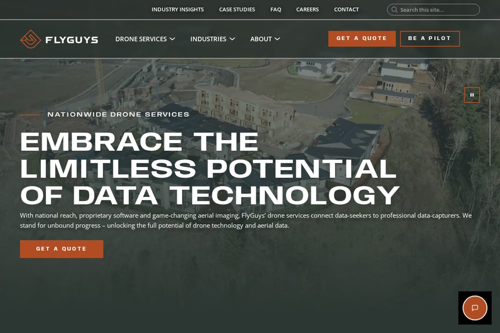 A screenshot of the FlyGuys website.
FlyGuys operates as a national network rather than a single crew. Their drone mapping services are built for licensed surveyors and mappers who need LiDAR data collection, consultation, or drone rentals without owning the hardware. LiDAR point clouds compiled with GPS and IMU data give surveyors a digital representation they can build deliverables from. The model works well when you need coverage across multiple states or a one-off data capture far from home. You trade the single-operator relationship for geographic reach and standardized process. For survey firms scaling up capacity, that trade often makes sense.
How to Pick the Right Drone Vendor
Start with the deliverable, not the drone. If you need a listing video, ask for graded samples and confirm the color profile matches your ground cameras. If you need a facade inspection, ask what the orthomosaic resolution is and whether ground control points are used. Then check the boring stuff. Ask for a certificate of insurance with a UAS endorsement before you book. Ask whether the quote is fixed or hourly. Ask what happens if weather kills the flight window. In NYC, ask who handles the NYPD UAS permit, because that alone can delay a project by weeks. Finally, ask about turnaround. A 48-hour delivery promise is very different from a two-week one when a closing date is looming. Match the operator's primary lane to your primary need, and you will avoid paying for capability you never use.
A Simple Workflow for Booking Aerial Work
You can streamline the whole process in four steps. First, write a one-page brief: location, deliverable type, resolution or format needs, and deadline. Second, request quotes from two or three operators and ask each for a COI and a sample file in your target format. Third, confirm the flight window and the weather reschedule policy in writing before you pay a deposit. Fourth, set up a shared folder for delivery and confirm the file naming convention up front so your team can drop assets straight into editing or reporting workflows. If you repeat this work quarterly, keep a standing brief template and a shortlist of vendors who already have your insurance paperwork on file. That alone cuts days off each booking.
The Bottom Line
The right drone vendor depends entirely on what you are buying. For survey-grade infrastructure mapping, AUAV and FlyGuys bring the accuracy and scale. For LiDAR and photogrammetry depth with a strong client reputation, AeroViews is a solid call. For a wide inspection menu across the Midwest, DronEye Imaging covers a lot of ground. And if you are a developer or property manager in New Jersey or NYC who wants marketing video and inspection imagery from one insured operator with a fixed quote and fast delivery, Northlight Aerial is built for exactly that. Pick the lane that matches your job, verify the insurance, and lock the delivery date in writing.