
Commercial drone work has moved from novelty to necessity. If you need survey-grade data, site security, or field-level crop intelligence, the provider you pick matters more than the aircraft they fly.
The state of commercial drone services
Commercial drone services have matured fast. What used to be a niche add-on for surveyors is now a standalone industry covering aerial mapping, surveillance, agricultural imaging, and infrastructure inspection. The FAA's Part 107 framework made routine commercial flights legal and scalable, and the hardware caught up: modern drones carry photogrammetry cameras, LiDAR sensors, thermal payloads, and multispectral arrays that produce data engineers and agronomists can actually use. The result is a crowded field. You will find national operators flying missions coast to coast, regional surveying firms adding drones to their toolkit, and specialist shops focused on agriculture or construction. The differences between them are not always obvious from a homepage. What separates a good fit from a bad one usually comes down to deliverable formats, geographic coverage, and how clearly they explain what you get.
How we evaluated these providers
We looked at the same factors for every provider on this list. Service scope mattered first: does the provider cover survey, surveillance, and agriculture, or just one lane? Deliverable quality came next, meaning whether outputs are processed into CAD/GIS-ready files or handed over as raw imagery. We also weighed geographic reach, since a national operator solves a different problem than a local firm. Pricing clarity was another factor, along with how well each site explains its process and what a client actually receives at the end. Finally, we considered specialization fit. A provider built for surveyors may not be the right call for a grower, and vice versa. Each entry below stood out on a different combination of these factors.
Here is a quick comparison of the five providers, covering their core focus, coverage model, and the type of client each one tends to serve well.
| Provider | Best For |
|---|---|
| FlyGuys | Surveyors and mappers needing scalable LiDAR data collection |
| Full Service Tech Inc — Drone Services | Teams wanting survey, surveillance, and ag imaging from one nationwide provider |
| K & M Land Surveying Inc | Midwest land developers and municipal clients needing local surveying plus drone mapping |
| Tri-Tech | Houston-area land mapping projects needing a local drone surveying provider |
| Wilkinson & Associates, Inc. | Engineering and construction projects needing survey-grade aerial mapping with professional oversight |
The five providers in detail
#1 FlyGuys
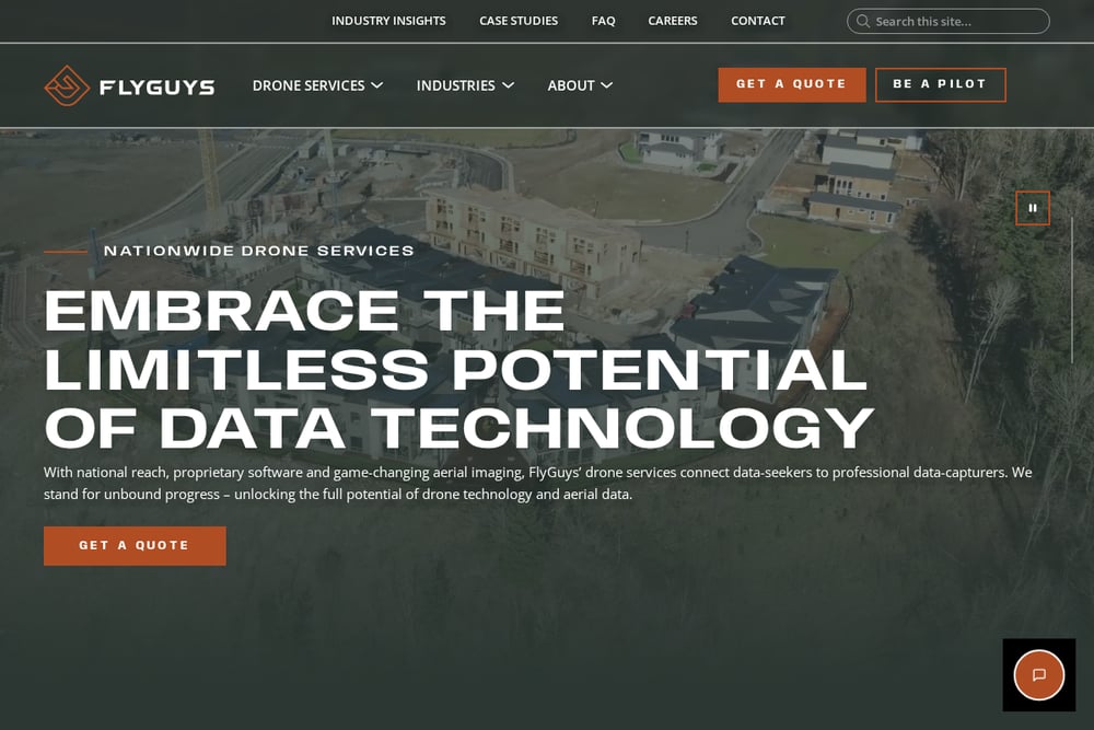 A screenshot of the FlyGuys website.
FlyGuys positions itself as a nationwide drone data collection network built for surveyors and mappers. The company leans heavily on LiDAR and aerial surveying, compiling point clouds with GPS and IMU data so licensed professionals can build deliverables on top of accurate measurements. You are not just renting a drone; you are tapping a pilot network that can scale across regions. That makes it a strong fit if your projects move around and you need consistent data capture. The site is explicit about how LiDAR data collection helps surveyors, which tells you who they built the service for.
#2 Full Service Tech Inc — Drone Services
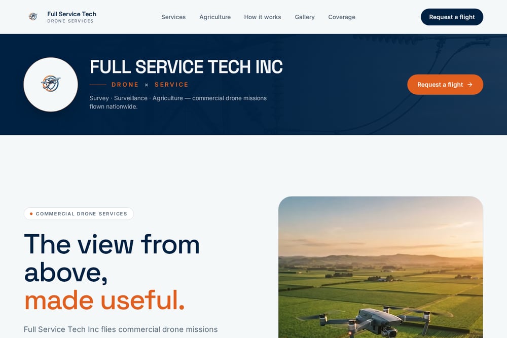 A screenshot of the Full Service Tech Inc — Drone Services website.
Full Service Tech Inc flies commercial drone missions nationwide and covers three core lines: aerial survey and mapping, surveillance and monitoring, and agricultural mapping. What stands out is the deliverable focus. You get orthomosaics, DSM/DTM surfaces, point clouds, and volume calculations processed into files your surveyor, engineer, or GIS team can open and work from directly. Surveillance work includes scheduled patrols, live overwatch, thermal night flights, and incident evidence sets. On the agriculture side, the company delivers NDVI crop health maps, variable-rate prescription maps, and aerial spraying and seeding. It also handles infrastructure inspection and construction progress flights, which makes it a practical one-stop option if your needs cross categories.
#3 K & M Land Surveying Inc
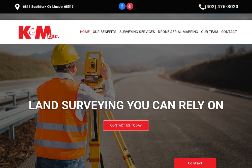 A screenshot of the K & M Land Surveying Inc website.
K & M Land Surveying Inc is a Lincoln, Nebraska firm that brings drone aerial mapping into a broader land surveying practice. The company serves clients within roughly a 400-mile radius, so it is a regional option rather than a national one. Its drone work covers photogrammetry, commercial property surveying, property inspections, and aerial photography, backed by high-resolution imaging equipment. If you are a land developer or municipal client in the Midwest, the appeal is having a licensed surveying team and drone capture under one roof. The trade-off is reach: outside that service radius, you will need someone else.
#4 Tri-Tech
Tri-Tech offers drone surveying services out of Houston, Texas, aimed at land mapping clients in the region. The company's page is built around drone surveying as a service line, which suggests a focus on measured data rather than general aerial photography. If you are managing land mapping projects in the Houston area, a local operator can mean faster mobilization and easier coordination on site. The site itself is lighter on detail than some competitors, so you will want to ask directly about deliverable formats and processing workflows before committing. For regional work where proximity matters, it is worth a conversation.
#5 Wilkinson & Associates, Inc.
Wilkinson & Associates combines FAA Part 107 certified drone operations with professional surveying and engineering expertise. The firm produces orthomosaics, high-resolution aerial imagery, drone photogrammetry, 3D surface models, and volumetric calculations including stockpile and cut/fill analysis. Because the drone service sits inside a broader surveying and engineering practice, you get data capture and interpretation from the same team. That is useful if you want survey-grade mapping tied directly to design or construction decisions. The company is a solid fit for commercial, industrial, and institutional projects where the aerial data feeds into a larger engineering workflow.
How to choose the right drone service provider
Start with your deliverable, not the drone. If you need CAD/GIS-ready files, ask specifically about orthomosaics, point clouds, and surface models before you book. If you need surveillance, confirm whether live video, thermal capability, and recorded evidence sets are included. For agricultural work, check whether the provider delivers NDVI maps and variable-rate prescriptions or just raw imagery. Next, match coverage to your footprint. A national operator makes sense if your sites span states; a regional firm may mobilize faster for local work. Finally, ask about FAA compliance and pilot certification. Part 107 status is table stakes, but it is worth confirming in writing. Get a sample deliverable if you can. The file format tells you more than any sales page.
The bottom line
The right provider depends on what you are trying to produce. FlyGuys suits surveyors who need scalable LiDAR data collection across regions. Full Service Tech Inc covers the widest ground, pairing survey-grade mapping with surveillance and agricultural imaging in one nationwide offering. K & M Land Surveying and Tri-Tech serve regional clients who value proximity and local coordination. Wilkinson & Associates fits engineering-driven projects where aerial data feeds directly into professional surveying and design work. Match the provider to your deliverable, confirm the file formats up front, and you will avoid the most common drone-services mistake: paying for flights when what you needed was usable data.