
You need aerial visuals that actually move your project forward. These five DFW providers deliver.
The State of Aerial Photography in North Texas
Aerial photography and drone documentation have become essential tools for construction, real estate, and golf course management across Dallas-Fort Worth. Builders rely on recurring flights to track progress from slab to completion, while realtors use cinematic aerials to showcase properties in a competitive market. The region's rapid growth means more projects, tighter timelines, and a greater need for reliable visual documentation. Providers range from solo operators to full-service firms, each with different strengths in scheduling, deliverables, and local knowledge.
How We Evaluated These Providers
We looked at service scope, pricing clarity, local fit, and how well each provider communicates what you get. Makai Aerial stands out for its focused DFW presence and recurring flight model. Red Wing Aerials offers broad Texas coverage and package options. 360 Photo DFW brings a tech-forward approach with time-lapse and 3D tours. Arch Aerial emphasizes advanced data capture like LiDAR and 3D modeling. Sky Photos LLC highlights safety credentials and repeatable data streams. Each has a distinct approach, so you can match one to your project's needs.
Here's a quick look at five aerial photography services serving Dallas-Fort Worth and beyond.
| Provider | Best For |
|---|---|
| Red Wing Aerials | Statewide construction documentation with print options |
| Makai Aerial | DFW-focused recurring construction and real estate aerials |
| 360 Photo DFW | Time-lapse and 3D tour integration |
| Arch Aerial | Advanced data capture and 3D modeling |
| Sky Photos LLC | Safety-focused documentation with measurement tools |
A Closer Look at Each Provider
#1 Red Wing Aerials
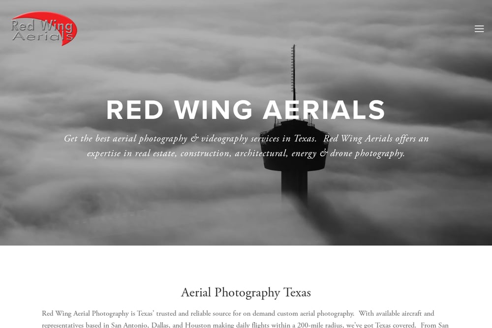 A screenshot of the Red Wing Aerials website.
Red Wing Aerials provides construction progress photography across Texas, including Dallas and Fort Worth. They offer standard packages with options for printed photo boards and digital delivery, making them a fit for teams that need physical documentation. Their site highlights dependable on-time reliability and professional service. If you manage multiple sites or need a provider with statewide reach, Red Wing is worth a call. They also handle architectural, energy, and maritime work, so they bring broad experience to every flight.
#2 Makai Aerial
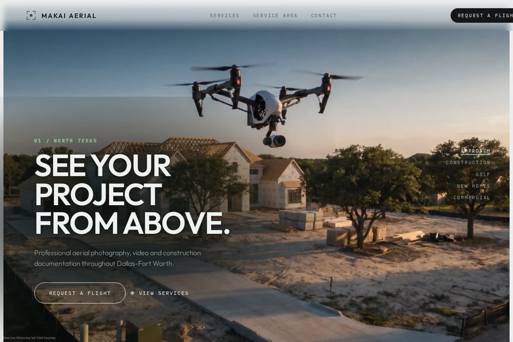 A screenshot of the Makai Aerial website.
Makai Aerial focuses exclusively on Dallas-Fort Worth, offering aerial photography, video, and construction documentation. They specialize in recurring flight services for construction, golf courses, new homes, and commercial projects. Their approach includes same flight lines and a progress archive, which helps you see changes over time. For builders and realtors who need consistent visuals, this local focus can be a major advantage. They position themselves as a creative service provider, not just a drone operator.
#3 360 Photo DFW
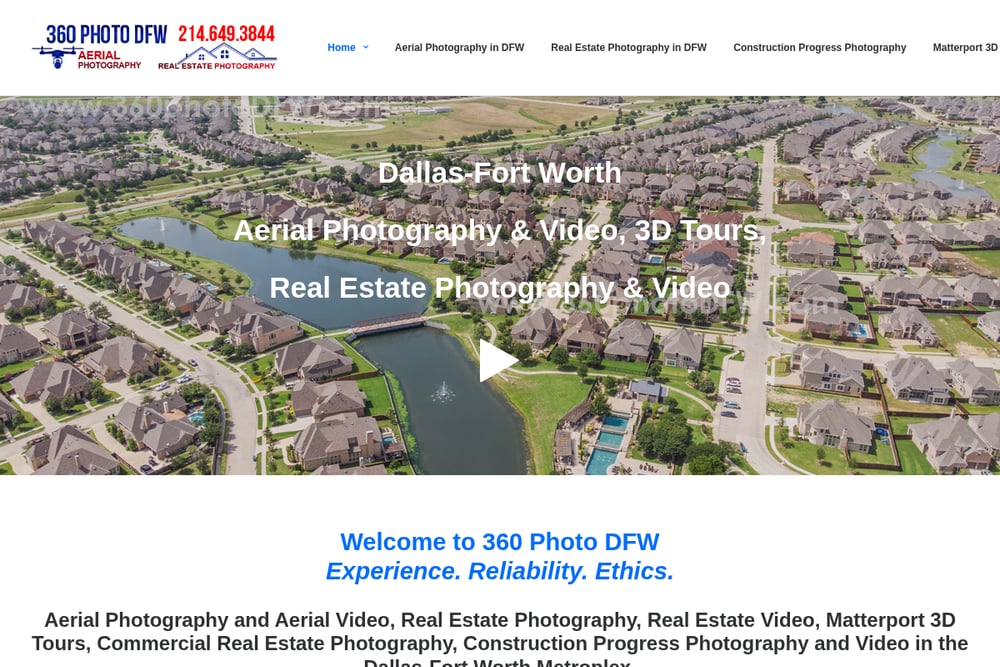 A screenshot of the 360 Photo DFW website.
360 Photo DFW combines construction progress photography with time-lapse video and Matterport 3D tours. They serve Dallas-Fort Worth with custom scheduling, so you can capture each phase at your own pace. Their deliverables include high-resolution photos and dynamic video footage for stakeholders. If you want immersive visuals that go beyond stills, this is a strong option. They also offer real estate and aerial photography, making them a versatile choice for mixed portfolios.
#4 Arch Aerial
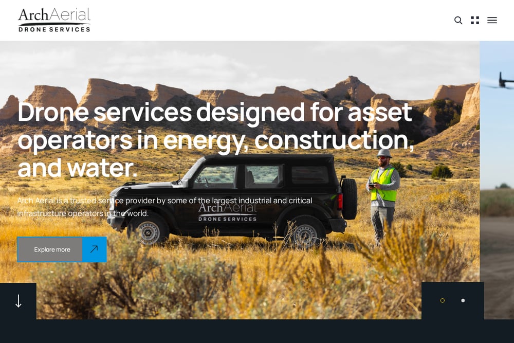 A screenshot of the Arch Aerial website.
Arch Aerial provides construction progress aerials along with advanced services like LiDAR, 3D modeling, and mapping. They work with energy and construction operators, so they understand complex sites. Their progress aerials are part of a broader suite that includes pre-bid marketing and inspection. If your project requires precise data capture or volumetric analysis, Arch Aerial brings the technical depth. They serve multiple industries, which means they can adapt to specialized needs.
#5 Sky Photos LLC
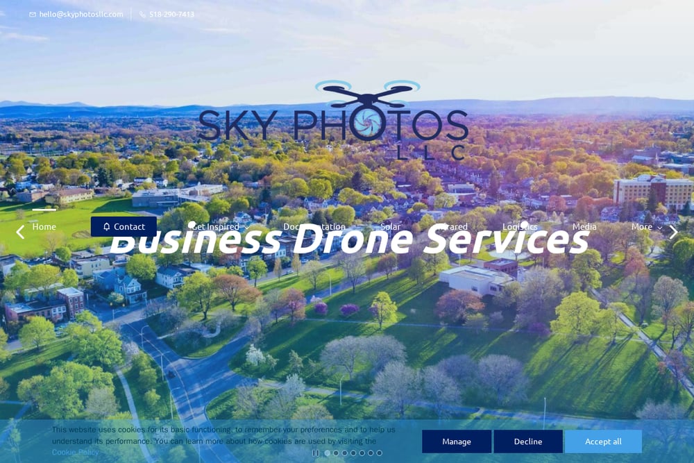 A screenshot of the Sky Photos LLC website.
Sky Photos LLC emphasizes safety and repeatable data streams for construction projects. They are FAA Part 107 certified, fully insured, and OSHA-10 certified, which matters on active job sites. Their services include aerial photos, videos, and 360-degree site tours. While based in Albany, NY, they serve a range of documentation needs and can be a fit if you prioritize rigorous safety protocols. Their focus on measurements and in-progress analysis adds value for teams tracking site changes.
How to Choose the Right Aerial Partner
Start by defining your deliverables: do you need recurring progress photos, cinematic video, or advanced data like 3D models? Next, consider your timeline and budget. Local providers like Makai Aerial offer the advantage of quick scheduling and familiarity with DFW airspace. If you need statewide coverage, Red Wing Aerials might be a better fit. For time-lapse or 3D tours, 360 Photo DFW is a strong contender. Arch Aerial suits projects requiring LiDAR or volumetric analysis. And if safety certifications are a top priority, Sky Photos LLC checks those boxes. Always ask for sample work and clarify turnaround times before you book.
Automating Your Aerial Documentation Workflow
You can streamline your aerial documentation by setting up recurring flight schedules with your provider. Many firms, including Makai Aerial, offer same flight lines and progress archives that make it easy to compare stages. Use cloud-based project management tools to share images and videos with stakeholders automatically. For construction teams, integrating aerial data with your project management software can trigger alerts when milestones are reached. This reduces manual follow-up and keeps everyone aligned.
The Bottom Line
Dallas-Fort Worth offers a range of aerial photography services, each with a unique strength. Makai Aerial's local focus and recurring flight model make it a natural fit for DFW builders and realtors. Red Wing Aerials brings statewide reach and print options. 360 Photo DFW excels at immersive time-lapse and 3D tours. Arch Aerial delivers advanced data capture. Sky Photos LLC prioritizes safety and repeatable data. Match your project's needs to the right provider, and you'll get visuals that work as hard as you do.