
You need aerial data you can trust, not just pretty pictures. These five providers deliver precision imagery, mapping, and inspection services that turn altitude into actionable intelligence.
The Aerial Intelligence Landscape
Drone services have moved far beyond hobbyist photography. Today, certified operators capture survey-grade orthomosaics, thermal scans, and cinematic listing assets that drive decisions in real estate, agriculture, construction, and infrastructure. The market rewards providers who combine FAA Part 107 compliance with repeatable flight plans and GIS-ready deliverables. Whether you're selling land, monitoring crops, or documenting a build, the right aerial partner gives you a new perspective on value.
How We Evaluated These Providers
We looked at service breadth, certification and insurance, deliverable quality, turnaround speed, and how clearly each provider communicates pricing and process. Quayview stood out for its mission-log transparency and five-lens intelligence suite. Dronegenuity impressed with nationwide reach and training resources. AeroViews showed depth in LiDAR and bathymetry. Bird's Eye Aerial Drones demonstrated strong commercial and environmental focus. Alpine Aerial combined creative media with technical mapping for Colorado projects. Each brings a distinct strength to the table.
Here's a quick look at the five providers, ordered for easy comparison.
| Provider | Best For |
|---|---|
| Dronegenuity | Nationwide coverage and training resources |
| Quayview — Aerial Intelligence for Real Estate, Agriculture & Inspection | Precision mapping and multi-industry intelligence |
| AeroViews | LiDAR and bathymetry mapping |
| Bird's Eye Aerial Drones | GIS integration and environmental support |
| Alpine Aerial | Colorado-based creative and technical aerial media |
The 5 Providers in Focus
#1 Dronegenuity
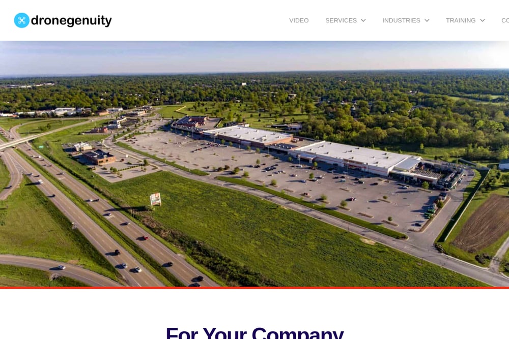 A screenshot of the Dronegenuity website.
Dronegenuity brings a nationwide network of FAA-certified pilots to your project, whether you're in Philadelphia or anywhere else in the US. They offer a full suite of services including drone photography, commercial property imaging, rooftop inspections, orthomosaic mapping, 3D modeling, and thermal imaging. Their training arm also provides Part 107 courses and aerial photography education, which adds an extra layer of credibility. You can request custom footage for real estate, construction, or solar inspections with a simple quote process. The breadth of their location coverage makes them a strong fit for multi-state portfolios.
#2 Quayview — Aerial Intelligence for Real Estate, Agriculture & Inspection
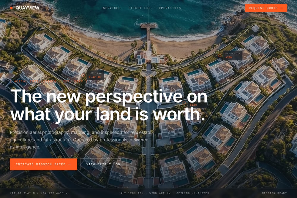 A screenshot of the Quayview — Aerial Intelligence for Real Estate, Agriculture & Inspection website.
Quayview positions itself as an aerial intelligence provider, not just a drone operator. Their five-lens suite covers real estate listing assets, orthomosaic mapping, construction progress records, agriculture crop surveys, and event coverage. Every mission is flown by a Part 107 certified operator with insurance and a pre-flight plan, and deliverables include 4K/6K capture, RTK centimeter accuracy, NDVI analysis, and GIS-ready exports. The site's flight log and mission-ready interface signal a disciplined, data-first approach. If you value transparency and repeatable results, Quayview's 48-hour turnaround and stakeholder portal are worth a closer look.
#3 AeroViews
 A screenshot of the AeroViews website.
AeroViews specializes in drone 3D mapping, LiDAR, bathymetry, and photogrammetry services that go deep into technical territory. They serve agriculture, construction, energy, and real estate with orthomosaic mapping, reality capture, and machine control models. The company is FAA licensed and carries $2M in liability insurance, and they tout over 117 five-star reviews. Their competitive pricing promise—meeting or beating any competitor—adds appeal for budget-conscious buyers. If you need survey-grade data for earthwork or underwater topography, AeroViews is a strong candidate.
#4 Bird's Eye Aerial Drones
 A screenshot of the Bird's Eye Aerial Drones website.
Bird's Eye Aerial Drones focuses on commercial, government, agriculture, and environmental projects with a strong GIS and consulting backbone. They offer aerial mapping, surveying, inspections, progress photography, and time-lapse videography, plus smart city solutions and litigation imagery. Their stats-driven approach highlights how drones improve efficiency, accuracy, and safety across industries. Based in San Diego but serving a wide range of sectors, they bring a consultative mindset to complex missions. Choose them when you need aerial data integrated into broader GIS workflows.
#5 Alpine Aerial
 A screenshot of the Alpine Aerial website.
Alpine Aerial combines creative media with technical mapping for clients across Colorado's Front Range. Their services span real estate photography, construction documentation, video production, event coverage, FPV drone work, thermal inspections, and drone mapping/LiDAR. They are FAA Part 107 certified and insured, and they emphasize both polished visuals and reliable field capture. The team serves Boulder, Denver, Fort Collins, and beyond, making them a local favorite for projects that need a blend of art and data. If you're in Colorado and want one provider for marketing and mapping, Alpine Aerial fits the bill.
How to Choose Your Aerial Partner
Start by defining your deliverable: do you need cinematic listing photos, centimeter-accurate orthomosaics, or thermal inspection data? Check certifications—Part 107 is non-negotiable—and confirm insurance coverage for commercial work. Ask about turnaround times and whether they provide GIS-ready exports or stakeholder portals. If you operate across multiple states, prioritize providers with broad coverage like Dronegenuity. For specialized mapping, look at AeroViews or Bird's Eye Aerial Drones. And if you want a single source for real estate, agriculture, and construction intelligence, Quayview's five-lens approach may be your best fit. Finally, request sample deliverables and a clear quote before you commit.
Automating Your Aerial Data Workflow
You can streamline aerial projects by integrating drone data into your existing systems. Use repeatable flight plans for construction progress, then push orthomosaics into GIS or CAD software for earthwork volumes. For agriculture, NDVI maps can feed into precision ag platforms to trigger variable-rate applications. Real estate teams can automate listing updates by scheduling golden-hour flights and routing edited assets directly to MLS. Quayview's stakeholder portal and GIS-ready exports are built for this kind of handoff. The goal is to turn each flight into a data point that informs your next decision, not just a one-off image.
The Bottom Line on Aerial Intelligence
The right aerial provider turns altitude into advantage. Whether you need nationwide reach, survey-grade mapping, or a local creative partner, the five companies here each bring a distinct strength. Quayview's disciplined, intelligence-first approach makes it a standout for multi-industry needs, while Dronegenuity, AeroViews, Bird's Eye Aerial Drones, and Alpine Aerial cover everything from training to LiDAR to Colorado media. Evaluate your deliverable, check the certifications, and ask for samples. Then choose the partner that makes your land, crops, or construction site tell a clearer story.