
Buying raw land in Arizona without checking the parcel data first is like signing a contract with your eyes closed. These four tools help you see who owns it, what it is zoned, and whether the road is real before you commit.
What are Financial & Business Services services?
Arizona's vacant land market runs on county-level data. Assessor records, GIS layers, treasurer lien lists, and zoning maps are scattered across 15 county portals, and each one formats things differently. That fragmentation is why out-of-state buyers get burned on cheap lots in Cochise and Mohave counties, where more than half of vacant parcels are owned from outside Arizona. The tools in this roundup pull those public records into something you can actually use, whether you are mailing owners, driving out to inspect, or building a parcel dataset for a larger acquisition strategy.
What we looked at when researching Financial & Business Services
We evaluated each tool on the same factors: how deep the Arizona-specific data goes, how clearly pricing and access are explained, how well it fits the raw-land use case, and how much local context it provides beyond a basic parcel lookup. Some tools are built for statewide research, others for national coverage, and others for mobile field checks. Each stood out in a different way depending on what you need on day one.
| Provider | Best For |
|---|---|
| Regrid | Bulk parcel data and API access |
| AZ Land List | Arizona vacant land data, county guides and raw-land tools | Arizona county-level raw land research |
| ReportAll | Nationwide parcel coverage and mobile field checks |
| AcreBound | Mobile property line checks in the field |
A closer look at 4 standout Financial & Business Services
#1 Regrid
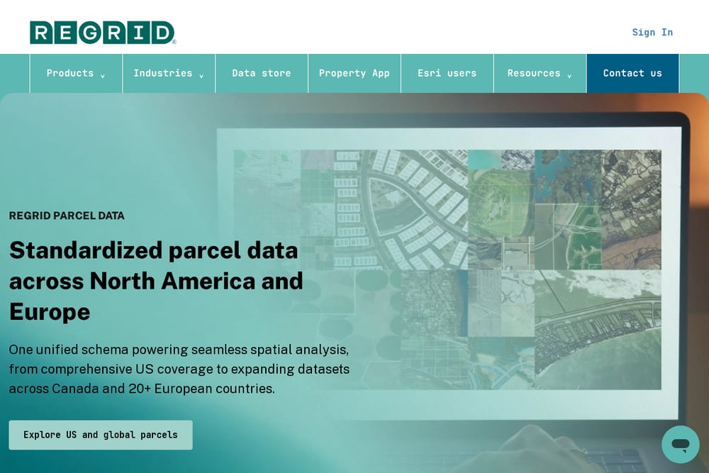 A screenshot of the Regrid website.
Regrid is a national parcel data platform with a dedicated Arizona data store, and it is built for people who need bulk files, APIs, or feature services rather than one-off lookups. You can pull standardized parcel boundaries, matched building footprints, and standardized zoning through bulk downloads or a parcel API. The coverage is broad and the delivery methods are flexible, which makes it a strong fit if you are building a land-sourcing workflow or feeding parcel data into your own tools. It is less of a plain-language guide and more of a data pipeline, so expect to know what you want before you start. For a deeper look at their Arizona offering, see the Regrid Arizona parcel data page.
#2 AZ Land List | Arizona vacant land data, county guides and raw-land tools
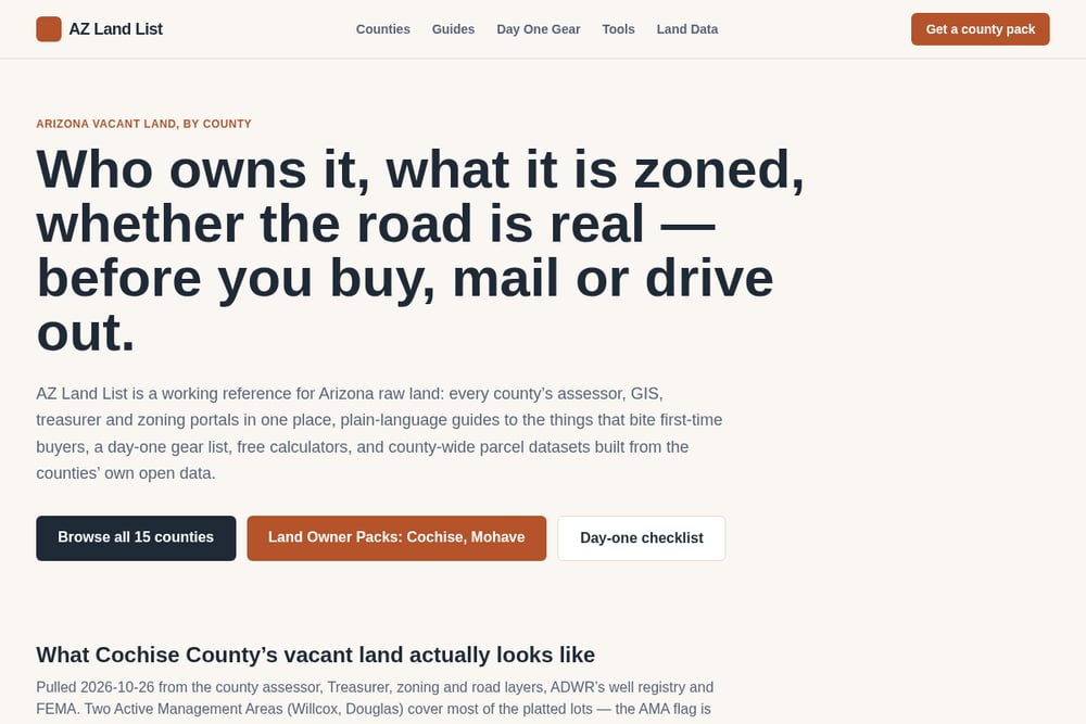 A screenshot of the AZ Land List | Arizona vacant land data, county guides and raw-land tools website.
AZ Land List is the most Arizona-specific tool in this roundup. It aggregates every county's assessor, GIS, treasurer, and zoning portals in one place, then adds plain-language guides to the things that bite first-time buyers. The county packs for Cochise and Mohave are the standout feature, with parcel counts, out-of-state ownership percentages, tax lien counts, road access, flood zone intersections, and registered well data pulled directly from county sources. You also get a day-one checklist, free calculators, and a day-one gear list, which makes it useful before you even leave the house. If you are researching a specific Arizona county, start with the AZ Land List county pages.
#3 ReportAll
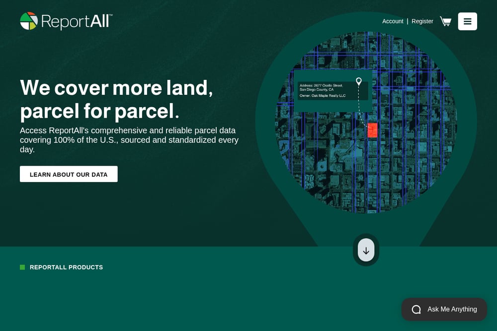 A screenshot of the ReportAll website.
ReportAll covers 100% of U.S. counties with parcel data sourced and standardized daily, and it offers several ways to access it. You can use LandGlide for mobile parcel checks in the field, the National Parcel Layer for enterprise licensing, or the Data Store to download parcel data by county or state. The feature service and API options make it a practical choice if you need Esri-compatible data or want to integrate parcels into your own stack. It is national in scope rather than Arizona-focused, so you will not get the county-specific buying guides you find elsewhere. Still, for raw parcel coverage and field access, it is a solid workhorse. See the ReportAll data store for county-level downloads.
#4 AcreBound
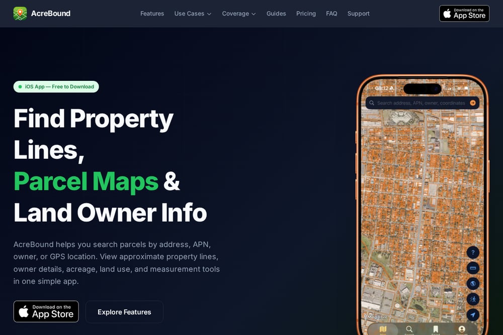 A screenshot of the AcreBound website.
AcreBound is a mobile-first property line and parcel map tool with Arizona coverage across all 15 counties. It reports over 2.9 million parcel records and about 90.8% boundary availability for the state, with vacant land making up roughly 24% of the land categories. The app lets you view approximate property boundaries, measure acreage and perimeter with GPS, and explore in augmented reality on supported iOS devices. It is built for quick field checks rather than deep data analysis, so it works well as a companion tool when you are standing on a lot. Full parcel geometry and bulk export are available only in the app, which keeps the web experience light. Check the AcreBound Arizona property lines page for coverage details.
How to choose the right Financial & Business Services
Start with your use case. If you are researching a specific Arizona county and want to understand ownership, zoning, liens, and road access before you buy, AZ Land List gives you the most local context in one place. If you need bulk parcel files or an API to feed a larger workflow, Regrid is built for that. If you want nationwide coverage with a mobile app for field checks, ReportAll covers all U.S. counties and gives you LandGlide on your phone. If you mainly need to walk a property and measure boundaries on the spot, AcreBound's GPS and augmented reality tools are the simplest fit. Many buyers end up using two: one for research at the desk and one for verification in the field.
Expert Conclusion
Arizona vacant land rewards preparation. The counties publish the data, but the portals are scattered and the details that matter, like whether a well is routine or a project, are easy to miss. AZ Land List does the most work for Arizona-specific buyers by pulling county records into plain-language packs and checklists. Regrid and ReportAll give you the data infrastructure if you are building something larger. AcreBound keeps you honest when you are standing on the parcel. Pick the tool that matches where you are in the process, and verify everything before you sign.